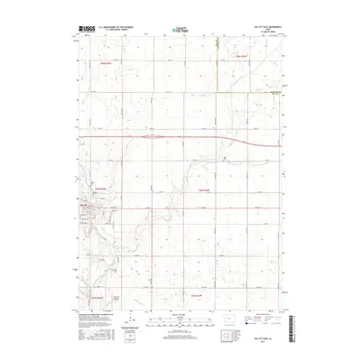
2015 Map of Sac City East
USGS Topo · Published 2015About this map
Sac City serves as the focal point of this 2015 study, situated where the North Raccoon River winds through the southwestern corner of the quadrangle. The town layout is detailed down to specific streets like Main St, Audubon St, and Park Ave, revealing the residential and commercial heart of the county seat. This river corridor, supplemented by Cedar Creek and Drainage Ditch 73, defines the local drainage patterns across the agricultural landscape of Sac Co and into neighboring Calhoun Co.
Find a feature on this map
59 named features on this map. Tap any name to fly to it.
Don’t see what you’re looking for? This feature index may not catch every label — zoom into the map to look around manually.
Map Details
Editions of this 2015 Sac City East Map
This is the sole edition of this map. No revisions or reprints were ever made.
Other maps of this area

1954 · Fort Dodge
USGS Topo · 1:250,000

1957 · Fort Dodge
USGS Topo · 1:250,000

1958 · Fort Dodge
USGS Topo · 1:250,000

1979 · Fonda
USGS Topo · 1:24,000

1979 · Newell West
USGS Topo · 1:24,000

1979 · Newell East
USGS Topo · 1:24,000

1980 · Lytton
USGS Topo · 1:24,000

1980 · Sac City East
USGS Topo · 1:24,000

1980 · Grant City
USGS Topo · 1:24,000

1980 · Yetter
USGS Topo · 1:24,000