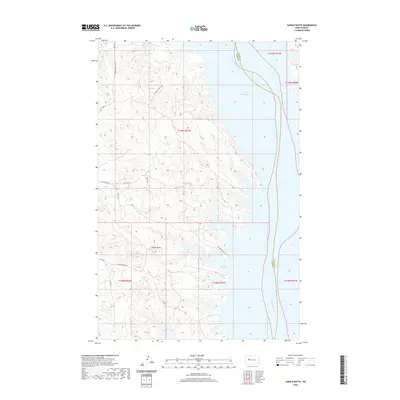
2020 Map of Saddle Butte
USGS Topo · Published 2020About this map
Saddle Butte rises above the western shoreline of Lake Sakakawea, dominating a landscape shaped by the inundation of the Missouri River valley. The map reveals a network of roads that reflect local heritage and the contemporary use of the lakeshore, including Charging Family Rd, Jim Hale Rd, and Hale Marina Rd. These routes provide access to the complex finger-like inlets along the coast, such as Saddle Butte Bay and Independence Bay Rd. The presence of numerous Bureau of Indian Affairs routes like Saddle Butte Rd underscores the administrative and tribal importance of this region within the Fort Berthold area. The terrain is characterized by intricate drainage patterns and plateaus that drop sharply toward the reservoir, illustrating the dramatic topography of the Missouri Plateau.
Find a feature on this map
19 named features on this map. Tap any name to fly to it.
Don’t see what you’re looking for? This feature index may not catch every label — zoom into the map to look around manually.
Map Details
Editions of this 2020 Saddle Butte Map
This is the sole edition of this map. No revisions or reprints were ever made.
Other maps of this area

1953 · Watford City
USGS Topo · 1:250,000

1957 · Watford City
USGS Topo · 1:250,000

1967 · Watford City
USGS Topo · 1:250,000

1967 · Raub NW
USGS Topo · 1:24,000

1967 · Twin Buttes
USGS Topo · 1:24,000

1967 · New Town SW
USGS Topo · 1:24,000

1967 · Parshall SW
USGS Topo · 1:24,000

1967 · New Town SE
USGS Topo · 1:24,000

1970 · Hay Flat
USGS Topo · 1:24,000

1970 · String Buttes
USGS Topo · 1:24,000