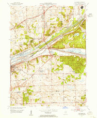
1953 Map of Sag Bridge
USGS Topo · Published 1955About this map
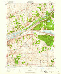
The Des Plaines River valley serves as a bustling industrial and transport corridor through Cook and Du Page counties, where the Illinois and Michigan Canal runs parallel to the newer Chicago Sanitary and Ship Canal. This landscape is defined by the convergence of major infrastructure, including the Atchison Topeka and Santa Fe railroad and the Gulf Mobile and Ohio lines. Within this network lie unique institutional sites like the City of Chicago Correction Farm and the massive Argonne National Laboratory Reservation.
Find a feature on this map
74 named features on this map. Tap any name to fly to it.
Don’t see what you’re looking for? This feature index may not catch every label — zoom into the map to look around manually.
Map Details
Editions of this 1953 Sag Bridge Map
2 editions found
Other maps of this area

1890 · Des Plaines
USGS Topo · 1:62,500

1891 · Riverside
USGS Topo · 1:62,500

1892 · Joliet
USGS Topo · 1:62,500

1893 · Riverside
USGS Topo · 1:62,500

1894 · Des Plaines
USGS Topo · 1:62,500

1900 · Des Plaines
USGS Topo · 1:62,500

1900 · Riverside
USGS Topo · 1:62,500

1901 · Des Plaines
USGS Topo · 1:62,500

1901 · Riverside
USGS Topo · 1:62,500

1908 · Wheaton
USGS Topo · 1:62,500