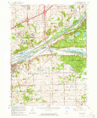
1963 Map of Sag Bridge
USGS Topo · Published 1964About this map
The Chicago Sanitary and Ship Canal and the Illinois and Michigan Canal dominate this 1963 landscape, cutting a industrial corridor through the Palos Forest Preserve. This intersection of heavy transport and protected woodland is further defined by the Argonne National Laboratory Reservation, which occupies a large tract of land west of the Des Plaines River.
Find a feature on this map
80 named features on this map. Tap any name to fly to it.
Don’t see what you’re looking for? This feature index may not catch every label — zoom into the map to look around manually.
Map Details
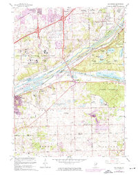
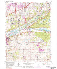
Editions of this 1963 Sag Bridge Map
3 editions found
Other maps of this area

1890 · Des Plaines
USGS Topo · 1:62,500

1891 · Riverside
USGS Topo · 1:62,500

1892 · Joliet
USGS Topo · 1:62,500

1893 · Riverside
USGS Topo · 1:62,500

1894 · Des Plaines
USGS Topo · 1:62,500

1900 · Des Plaines
USGS Topo · 1:62,500

1900 · Riverside
USGS Topo · 1:62,500

1901 · Des Plaines
USGS Topo · 1:62,500

1901 · Riverside
USGS Topo · 1:62,500

1908 · Wheaton
USGS Topo · 1:62,500