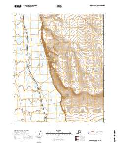
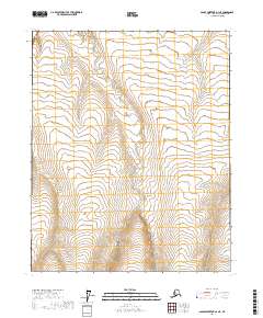
2017 Map of Sagavanirktok D-3 SW
USGS Topo · Published 2017About this map
The Sagavanirktok River dominates this Arctic landscape as it weaves through the North Slope, flanked by the prominent rising terrain of the Franklin Bluffs. This 2017 study illustrates the vital intersection of natural geography and industrial infrastructure, as the Alaska Pipeline tracks southward along the river corridor, mirroring the ancient flow of the water. The map provides a look at the vast expanse of the North Slope Borough, where the braided river channels and the engineering of the pipeline define the human footprint in this remote region. Land surveys from the Bureau of Land Management mark out the townships, including t6n r13e and t5n r14e, overlaying a grid on the expansive wetlands and river plains.
Find a feature on this map
7 named features on this map. Tap any name to fly to it.
Don’t see what you’re looking for? This feature index may not catch every label — zoom into the map to look around manually.
Map Details
Editions of this 2017 Sagavanirktok D-3 SW Map
This is the sole edition of this map. No revisions or reprints were ever made.
Other maps of this area

1951 · Sagavanirktok D-5
USGS Topo · 1:250,000

1955 · Sagavanirktok D-3
USGS Topo · 1:63,360

1955 · Sagavanirktok D-4
USGS Topo · 1:63,360

1956 · Sagavanirktok
USGS Topo · 1:250,000

1958 · Sagavanirktok
USGS Topo · 1:250,000

1964 · Sagavanirktok
USGS Topo · 1:250,000
1971 · Sagavanirktok C-3
USGS Topo · 1:63,360
1971 · Sagavanirktok C-4
USGS Topo · 1:63,360
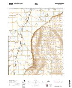
2017 · Sagavanirktok D-3 NW
USGS Topo · 1:25,000
2017 · Sagavanirktok D-3 NE
USGS Topo · 1:25,000