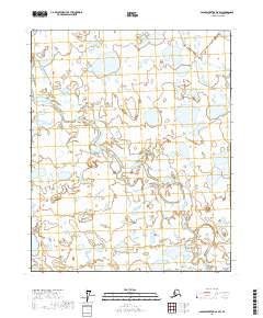
2017 Map of Sagavanirktok D-4 SW
USGS Topo · Published 2017About this map
Toolik River winds through the expansive tundra of the North Slope in this 2017 survey. The landscape is defined by an intricate network of wetlands and thaw lakes typical of the Arctic coastal plain, captured here through high-resolution imagery and modern topographic data. The map provides a detailed view of the meandering river channel and the surrounding hydrologic patterns, providing a base for studying the environmental history and land usage of this remote region. Public land survey boundaries delineate the townships of t6n r11e, t6n r12e, t5n r11e, and t5n r12e, showing the underlying legal framework of the Alaskan wilderness. This map serves as an essential record of the surface features and water bodies in a shifting northern environment.
Find a feature on this map
5 named features on this map. Tap any name to fly to it.
Don’t see what you’re looking for? This feature index may not catch every label — zoom into the map to look around manually.
Map Details
Editions of this 2017 Sagavanirktok D-4 SW Map
This is the sole edition of this map. No revisions or reprints were ever made.
Other maps of this area

1951 · Sagavanirktok D-5
USGS Topo · 1:250,000
1955 · Sagavanirktok D-5
USGS Topo · 1:63,360

1955 · Sagavanirktok D-4
USGS Topo · 1:63,360

1956 · Sagavanirktok
USGS Topo · 1:250,000

1958 · Sagavanirktok
USGS Topo · 1:250,000

1964 · Sagavanirktok
USGS Topo · 1:250,000
1971 · Sagavanirktok C-5
USGS Topo · 1:63,360
1971 · Sagavanirktok C-4
USGS Topo · 1:63,360
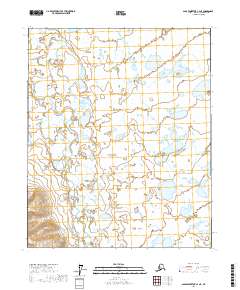
2017 · Sagavanirktok C-4 NE
USGS Topo · 1:25,000
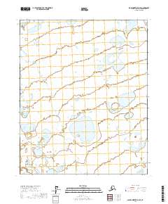
2017 · Sagavanirktok D-4 SE
USGS Topo · 1:25,000