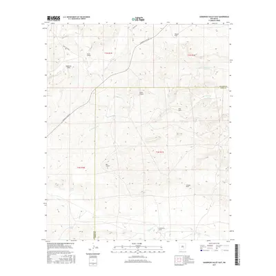
2017 Map of Sagebrush Valley East
USGS Topo · Published 2017About this map
Sagebrush Valley dominates the northern landscape of this region, where the Chaves Co Eddy Co boundary line divides the arid terrain. The drainage network is a primary feature of this area, defined by the winding course of the Rio Felix and the rugged cuts of Squaw Canyon and Goaty Canyon. Toward the south, the terrain descends into a series of washes and ephemeral water sources, including Eagle Cr and the deep incision of Johnson Draw.
Find a feature on this map
25 named features on this map. Tap any name to fly to it.
Don’t see what you’re looking for? This feature index may not catch every label — zoom into the map to look around manually.
Map Details
Editions of this 2017 Sagebrush Valley East Map
This is the sole edition of this map. No revisions or reprints were ever made.
Other maps of this area

1954 · Carlsbad
USGS Topo · 1:250,000

1955 · Hope NW
USGS Topo · 1:24,000

1955 · Kincaid Ranch
USGS Topo · 1:24,000

1955 · Hope
USGS Topo · 1:24,000

1955 · Roswell
USGS Topo · 1:250,000

1956 · Hope
USGS Topo · 1:24,000

1958 · Carlsbad
USGS Topo · 1:250,000

1958 · Roswell
USGS Topo · 1:250,000

1960 · Teel Ranch
USGS Topo · 1:62,500

1961 · Indian Bluff
USGS Topo · 1:62,500