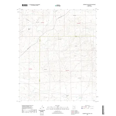
2020 Map of Sagebrush Valley East
USGS Topo · Published 2020About this map
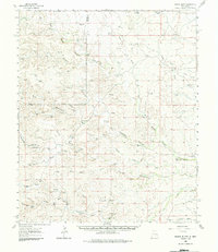
Sagebrush Valley is defined by an intricate network of intermittent watercourses and draws crossing the high desert of the Chaves and Eddy county line. The landscape is characterized by its drainage patterns, notably where Rio Felix and Squaw Cr cut through the northern reaches. Surveyed just years ago, the area shows a distinct lack of permanent settlements, instead featuring isolated water improvements critical for ranching, such as CCC Tank, Dagger Tank, and Young Tank. The topography is a maze of named canyons and draws, including Goaty Canyon, Well Canyon, and Johnson Draw. Transportation is limited to remote corridors like Sagebrush Valley Rd and the aptly named Nowhere Rd, which navigate the terrain alongside Eagle Cr and Hackberry Draw.
Find a feature on this map
24 named features on this map. Tap any name to fly to it.
Don’t see what you’re looking for? This feature index may not catch every label — zoom into the map to look around manually.
Map Details
Editions of this 2020 Sagebrush Valley East Map
This is the sole edition of this map. No revisions or reprints were ever made.
Other maps of this area

1954 · Carlsbad
USGS Topo · 1:250,000
1955 · Hope NW
USGS Topo · 1:24,000
1955 · Kincaid Ranch
USGS Topo · 1:24,000
1955 · Hope
USGS Topo · 1:24,000
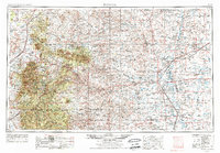
1955 · Roswell
USGS Topo · 1:250,000
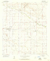
1956 · Hope
USGS Topo · 1:24,000

1958 · Carlsbad
USGS Topo · 1:250,000
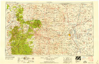
1958 · Roswell
USGS Topo · 1:250,000
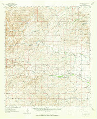
1960 · Teel Ranch
USGS Topo · 1:62,500
1961 · Indian Bluff
USGS Topo · 1:62,500