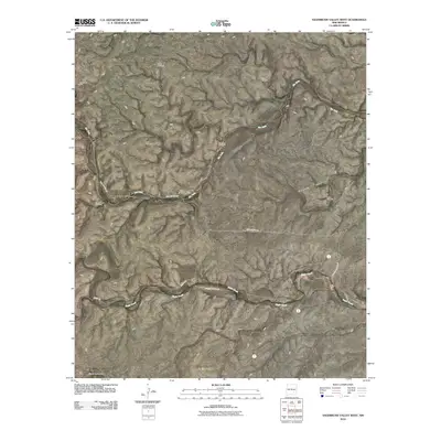
2010 Map of Sagebrush Valley West
USGS Topo · Published 2010About this map
Treat Ranch serves as a central landmark in this ranching landscape of Chaves County, where water management is the defining feature of the terrain. The map details a network of vital water infrastructure, including the North Windmill, Buck Windmill, and Tecolote Windmill, which support agricultural activity across the Sagebrush Valley. These features illustrate the essential nature of wind-pumped wells for sustaining livestock in this arid environment.
Find a feature on this map
15 named features on this map. Tap any name to fly to it.
Don’t see what you’re looking for? This feature index may not catch every label — zoom into the map to look around manually.
Map Details
Editions of this 2010 Sagebrush Valley West Map
This is the sole edition of this map. No revisions or reprints were ever made.
Other maps of this area

1954 · Carlsbad
USGS Topo · 1:250,000

1955 · Roswell
USGS Topo · 1:250,000

1958 · Carlsbad
USGS Topo · 1:250,000

1958 · Roswell
USGS Topo · 1:250,000

1960 · Teel Ranch
USGS Topo · 1:62,500

1961 · Flying H
USGS Topo · 1:62,500

1961 · Indian Bluff
USGS Topo · 1:62,500

1962 · Roswell
USGS Topo · 1:250,000

1962 · Dunken
USGS Topo · 1:62,500

1978 · Artesia
USGS Topo · 1:100,000