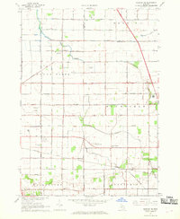
1967 Map of Saginaw NE
USGS Topo · Published 1969About this map
The agricultural and industrial transition of the Saginaw Valley is visible in this late 1960s study, where the flatlands are carved by an intricate network of drainage features like Cheboyganing Creek and various channels simply labeled Drain. The landscape is dominated by large township divisions including Buena Vista and Blumfield, intersected by the heavy infrastructure of the Chesapeake and Ohio railroad.
Find a feature on this map
62 named features on this map. Tap any name to fly to it.
Don’t see what you’re looking for? This feature index may not catch every label — zoom into the map to look around manually.
Map Details
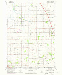
Editions of this 1967 Saginaw NE Map
2 editions found
Other maps of this area

1916 · Bay City
USGS Topo · 1:62,500

1919 · Bay City
USGS Topo · 1:62,500

1919 · Saginaw
USGS Topo · 1:62,500

1941 · Saginaw
USGS Topo · 1:62,500

1943 · Bay City
USGS Topo · 1:62,500

1943 · Saginaw
USGS Topo · 1:62,500

1954 · Flint
USGS Topo · 1:250,000

1958 · Flint
USGS Topo · 1:250,000

1963 · Quanicassee
USGS Topo · 1:24,000

1963 · Reese
USGS Topo · 1:24,000
Featured Places
- Buena Vista Charter Township, MI
- Frankenmuth Township, MI
- Bridgeport Charter Township, MI
- Blumfield Township, MI
- Robin Glen, MI