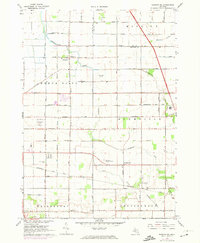
1967 Map of Saginaw NE
USGS Topo · Published 1974About this map
Indiantown and the agricultural lands northeast of Saginaw define this 1967 landscape, where the grid-like road system of Buena Vista and Blumfield townships meets the curving path of Cheboyganing Creek. The map documents a period of regional utility and transportation growth, featuring the Saginaw Municipal Airport and multiple broadcasting landmarks, including the Radio Tower (WNEM-TV) and Radio Towers (WSGW).
Find a feature on this map
67 named features on this map. Tap any name to fly to it.
Don’t see what you’re looking for? This feature index may not catch every label — zoom into the map to look around manually.
Map Details
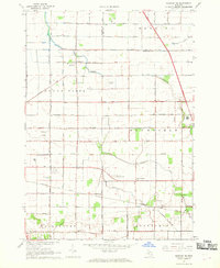
Editions of this 1967 Saginaw NE Map
2 editions found
Other maps of this area

1916 · Bay City
USGS Topo · 1:62,500

1919 · Bay City
USGS Topo · 1:62,500

1919 · Saginaw
USGS Topo · 1:62,500

1941 · Saginaw
USGS Topo · 1:62,500

1943 · Bay City
USGS Topo · 1:62,500

1943 · Saginaw
USGS Topo · 1:62,500

1954 · Flint
USGS Topo · 1:250,000

1958 · Flint
USGS Topo · 1:250,000

1963 · Quanicassee
USGS Topo · 1:24,000

1963 · Reese
USGS Topo · 1:24,000
Featured Places
- Buena Vista Charter Township, MI
- Frankenmuth Township, MI
- Bridgeport Charter Township, MI
- Blumfield Township, MI
- Robin Glen, MI