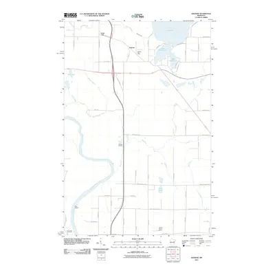
2010 Map of Saginaw
USGS Topo · Published 2010About this map
Saginaw serves as a central hub in this northern landscape, where the Saginaw Post Office stands near the intersection of several local routes. The geography is defined by a dense network of water, including the cluster of Grand Lake, Little Grand Lake, and Baby Grand Lake to the northeast. To the south, the winding Saint Louis River creates a prominent bend around Pine Island, a distinctive terrain feature in an area marked by low-lying wetlands and seasonal drainages like Dutch Slough and Beartrap Creek.
Find a feature on this map
57 named features on this map. Tap any name to fly to it.
Don’t see what you’re looking for? This feature index may not catch every label — zoom into the map to look around manually.
Map Details
Editions of this 2010 Saginaw Map
This is the sole edition of this map. No revisions or reprints were ever made.
Other maps of this area

1953 · Twig
USGS Topo · 1:24,000

1953 · Saginaw
USGS Topo · 1:24,000

1953 · Adolph
USGS Topo · 1:24,000

1953 · Alborn
USGS Topo · 1:24,000

1953 · Brookston
USGS Topo · 1:24,000

1953 · Independence
USGS Topo · 1:24,000

1953 · Duluth
USGS Topo · 1:250,000

1954 · Cloquet
USGS Topo · 1:24,000

1954 · Esko
USGS Topo · 1:24,000

1954 · Iverson
USGS Topo · 1:24,000