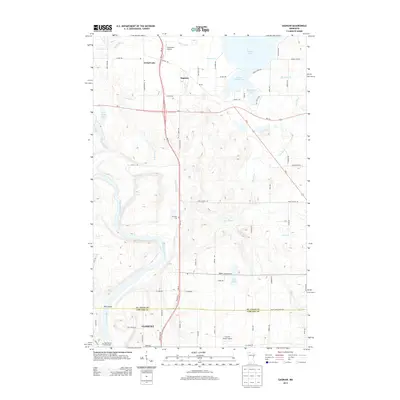
2013 Map of Saginaw
USGS Topo · Published 2013About this map
The Saint Louis River snakes through the southern reaches of this landscape, marking the transition into the northern edges of Cloquet. To the north, the settlement of Saginaw serves as a central hub where MN-33 and MN-194 converge, surrounded by a complex system of glacial water bodies including Grand Lake, Little Grand Lake, and Baby Grand Lake. The map reveals a mixture of rural development and natural drainage patterns, exemplified by the winding course of the Pine River and the marshes of Dutch Slough.
Find a feature on this map
70 named features on this map. Tap any name to fly to it.
Don’t see what you’re looking for? This feature index may not catch every label — zoom into the map to look around manually.
Map Details
Editions of this 2013 Saginaw Map
This is the sole edition of this map. No revisions or reprints were ever made.
Other maps of this area

1953 · Twig
USGS Topo · 1:24,000

1953 · Saginaw
USGS Topo · 1:24,000

1953 · Adolph
USGS Topo · 1:24,000

1953 · Alborn
USGS Topo · 1:24,000

1953 · Brookston
USGS Topo · 1:24,000

1953 · Independence
USGS Topo · 1:24,000

1953 · Duluth
USGS Topo · 1:250,000

1954 · Cloquet
USGS Topo · 1:24,000

1954 · Esko
USGS Topo · 1:24,000

1954 · Iverson
USGS Topo · 1:24,000