
1899 Map of Sagola
USGS Topo · Published 1899About this map
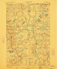
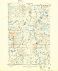
The railroad junction at Channing serves as the central hub of this late 19th-century survey, where the Chicago Milwaukee and St. Paul R. R. Superior Division intersects with multiple spurs and branches. This transportation network was critical to the industrial development of the Upper Peninsula, connecting remote settlements like Sagola and Floodwood to the regional economy. To the west, the village of Mansfield sits along the C. & N. W. R. R. Mansfield Branch, surrounded by a landscape of intricate waterways including the Michigamme River and Fence River. The map meticulously details the early boundaries of Crystal Falls, Mansfield, and Mastodon townships. These surveys by C. R. Van Hise and Robert Muldrow illustrate a period of intense transition, as rail lines carved through the timberlands and wetlands surrounding bodies of water like Sawyer Lake and Lake Ellen.
Find a feature on this map
26 named features on this map. Tap any name to fly to it.
Don’t see what you’re looking for? This feature index may not catch every label — zoom into the map to look around manually.
Map Details
Editions of this 1899 Sagola Map
3 editions found
Other maps of this area

1895 · Ned Lake
USGS Topo · 1:62,500

1899 · Witbeck
USGS Topo · 1:62,500

1899 · Crystal Falls
USGS Topo · 1:62,500

1939 · Iron Mountain
USGS Topo · 1:48,000

1941 · Florence
USGS Topo · 1:48,000

1941 · Iron Mountain
USGS Topo · 1:48,000

1944 · Crystal Falls
USGS Topo · 1:24,000

1945 · Kelso Junction
USGS Topo · 1:24,000

1946 · Crystal Falls
USGS Topo · 1:31,680

1947 · Iron Mountain
USGS Topo · 1:48,000