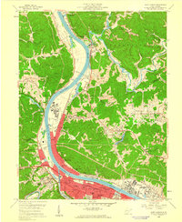
1958 Map of Saint Albans
USGS Topo · Published 1960About this map
The Kanawha River corridor in the late 1950s is defined by a dense concentration of industry and infrastructure between Saint Albans and Nitro. This area reflects the mid-century industrial expansion of the Kanawha Valley, anchored by a large Chemical Plant and the extensive rail networks of the New York Central and Chesapeake and Ohio railroads. The topography transitions from the broad river bottomlands to the steep, narrow hollows like Coal Strip Hollow, where a Strip Mine signifies the region's extraction heritage.
Find a feature on this map
74 named features on this map. Tap any name to fly to it.
Don’t see what you’re looking for? This feature index may not catch every label — zoom into the map to look around manually.
Map Details
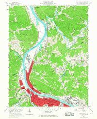
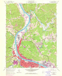
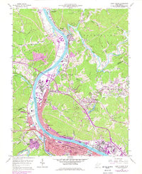
Editions of this 1958 Saint Albans Map
4 editions found
Other maps of this area

1899 · Charleston
USGS Topo · 1:125,000

1906 · Kenna
USGS Topo · 1:62,500

1906 · Winfield
USGS Topo · 1:62,500

1907 · Kenna
USGS Topo · 1:62,500

1908 · Winfield
USGS Topo · 1:62,500

1909 · Charleston
USGS Topo · 1:62,500

1909 · Saint Albans
USGS Topo · 1:62,500

1931 · Saint Albans
USGS Topo · 1:62,500

1931 · Charleston
USGS Topo · 1:62,500

1933 · Saint Albans
USGS Topo · 1:62,500