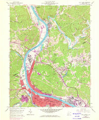
1958 Map of Saint Albans
USGS Topo · Published 1973About this map
The Kanawha River serves as the industrial and logistical spine of this region, winding past heavy industry and established river towns during a period of significant suburban growth. Commercial development and residential expansion are visible in the purple-tinted revisions around Saint Albans and Nitro, where the Chesapeake and Ohio and Penn Central railroads parallel the water. The landscape is a mix of dense valley settlements and the extraction economy of the uplands, evidenced by numerous Coal Strip Mines and a Quarry dotting the ridges near the Pocatalico River. Higher education and local history are anchored by the West Virginia State College campus at Institute, while the ancient heritage of the valley is marked by a lone Indian Mound near the riverbank. From the legacy of Raymond City to the mid-century expansion of Cross Lanes, this survey captures a valley in transition.
Find a feature on this map
79 named features on this map. Tap any name to fly to it.
Don’t see what you’re looking for? This feature index may not catch every label — zoom into the map to look around manually.
Map Details
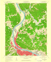
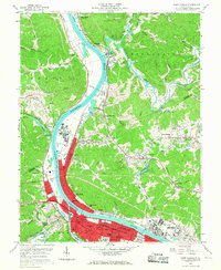
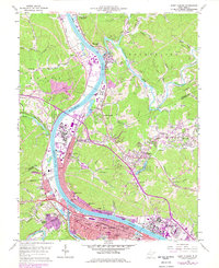
Editions of this 1958 Saint Albans Map
4 editions found
Other maps of this area

1899 · Charleston
USGS Topo · 1:125,000

1906 · Kenna
USGS Topo · 1:62,500

1906 · Winfield
USGS Topo · 1:62,500

1907 · Kenna
USGS Topo · 1:62,500

1908 · Winfield
USGS Topo · 1:62,500

1909 · Charleston
USGS Topo · 1:62,500

1909 · Saint Albans
USGS Topo · 1:62,500

1931 · Saint Albans
USGS Topo · 1:62,500

1931 · Charleston
USGS Topo · 1:62,500

1933 · Saint Albans
USGS Topo · 1:62,500