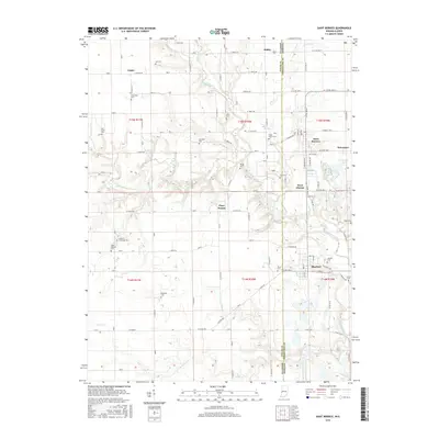
2016 Map of Saint Bernice
USGS Topo · Published 2016About this map
Saint Bernice and the neighboring settlement of Jonestown anchor the eastern edge of this borderlands survey, situated where the terrain begins to slope toward the Wabash River valley. The landscape is a patchwork of agricultural fields and wooded drainage systems, most notably the winding course of Brouilletts Creek and its various tributaries like Salt Fork and Coal Cr. This 2016 record captures the rural character of the Illinois-Indiana line, where small communities like Logan and Kidley are connected by a precise grid of country roads.
Find a feature on this map
58 named features on this map. Tap any name to fly to it.
Don’t see what you’re looking for? This feature index may not catch every label — zoom into the map to look around manually.
Map Details
Editions of this 2016 Saint Bernice Map
This is the sole edition of this map. No revisions or reprints were ever made.
Other maps of this area

1947 · Ridge Farm
USGS Topo · 1:62,500

1947 · Paris
USGS Topo · 1:62,500

1949 · Paris
USGS Topo · 1:62,500

1950 · New Goshen
USGS Topo · 1:24,000

1950 · Sandford
USGS Topo · 1:24,000

1951 · Clinton
USGS Topo · 1:24,000

1951 · Saint Bernice
USGS Topo · 1:24,000

1953 · Indianapolis
USGS Topo · 1:250,000

1955 · Scottland
USGS Topo · 1:24,000

1955 · Dana
USGS Topo · 1:24,000