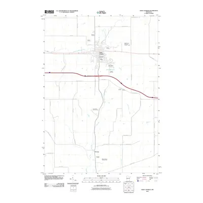
2010 Map of Saint Charles
USGS Topo · Published 2010About this map
Saint Charles serves as the primary hub in this corner of Winona County, situated where the South Fork Whitewater River meets the local transportation network. The 2010 landscape is defined by its agricultural layout and several water management structures, including the Pagel-Young Detention Number 1 Dam and Frank Hilke Detention Dam. Further south, the smaller settlement of Saratoga lies near the winding course of Trout Run.
Find a feature on this map
43 named features on this map. Tap any name to fly to it.
Don’t see what you’re looking for? This feature index may not catch every label — zoom into the map to look around manually.
Map Details
Editions of this 2010 Saint Charles Map
This is the sole edition of this map. No revisions or reprints were ever made.
Other maps of this area

1932 · Cochrane
USGS Topo · 1:62,500

1934 · Plainview
USGS Topo · 1:62,500

1934 · Cochrane
USGS Topo · 1:62,500

1937 · Cochrane
USGS Topo · 1:62,500

1938 · Plainview
USGS Topo · 1:62,500

1953 · Saint Paul
USGS Topo · 1:250,000

1953 · Eau Claire
USGS Topo · 1:250,000

1954 · Chatfield
USGS Topo · 1:62,500

1954 · Lewiston
USGS Topo · 1:62,500

1954 · Mason City
USGS Topo · 1:250,000