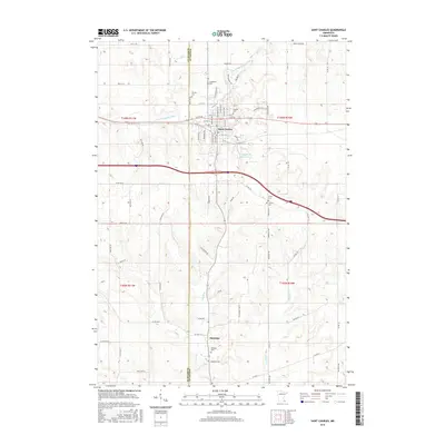
2016 Map of Saint Charles
USGS Topo · Published 2016About this map
Saint Charles sits at the junction of modern transit corridors and traditional water routes, where the S Fork Whitewater River meets the local drainage network. This 2016 survey illustrates the town's grid expanding toward the bluffs, balanced by numerous burial sites that anchor the community's history, including Hillside Cem and Calvary Cem. To the south, the landscape transitions into the smaller settlement of Saratoga, situated near the headwaters of Trout Run. The map records a complex topographical transition across the Winona Co and Olmsted Co line, where the plateau is deeply incised by Money Cr and other tributaries. This spatial arrangement highlights the enduring importance of the valley floors for both early settlement and modern agriculture, with family landmarks like Carpenter Cem and Smith Cem marking the rural uplands between the larger townships.
Find a feature on this map
73 named features on this map. Tap any name to fly to it.
Don’t see what you’re looking for? This feature index may not catch every label — zoom into the map to look around manually.
Map Details
Editions of this 2016 Saint Charles Map
This is the sole edition of this map. No revisions or reprints were ever made.
Other maps of this area

1932 · Cochrane
USGS Topo · 1:62,500

1934 · Plainview
USGS Topo · 1:62,500

1934 · Cochrane
USGS Topo · 1:62,500

1937 · Cochrane
USGS Topo · 1:62,500

1938 · Plainview
USGS Topo · 1:62,500

1953 · Saint Paul
USGS Topo · 1:250,000

1953 · Eau Claire
USGS Topo · 1:250,000

1954 · Chatfield
USGS Topo · 1:62,500

1954 · Lewiston
USGS Topo · 1:62,500

1954 · Mason City
USGS Topo · 1:250,000