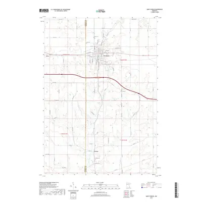
2019 Map of Saint Charles
USGS Topo · Published 2019About this map
St. Charles serves as the primary hub of this landscape, situated at the confluence of several local routes and just east of the Olmsted and Winona county line. The town's grid is anchored by residential expansion and landmarks like Hillside Cem, while Jessen Park Lake provides a central water feature nearby. To the west, the settlement of Dover marks the edge of the survey, connected to the larger town by the busy corridor of Co RD 26.
Find a feature on this map
80 named features on this map. Tap any name to fly to it.
Don’t see what you’re looking for? This feature index may not catch every label — zoom into the map to look around manually.
Map Details
Editions of this 2019 Saint Charles Map
This is the sole edition of this map. No revisions or reprints were ever made.
Other maps of this area

1932 · Cochrane
USGS Topo · 1:62,500

1934 · Plainview
USGS Topo · 1:62,500

1934 · Cochrane
USGS Topo · 1:62,500

1937 · Cochrane
USGS Topo · 1:62,500

1938 · Plainview
USGS Topo · 1:62,500

1953 · Saint Paul
USGS Topo · 1:250,000

1953 · Eau Claire
USGS Topo · 1:250,000

1954 · Chatfield
USGS Topo · 1:62,500

1954 · Lewiston
USGS Topo · 1:62,500

1954 · Mason City
USGS Topo · 1:250,000