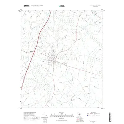
2020 Map of Saint George
USGS Topo · Published 2020About this map
St. George serves as the focal point of this Dorchester County landscape, anchored by the Dorchester County Courthouse and a surrounding network of local roads. The town is situated at a key intersection of regional transit, where the Norfolk Southern railway lines parallel the modern highway corridors. Surrounding the town center, several smaller communities such as Badham and Byrd are visible, each with its own local identity defined by the nearby wetlands.
Find a feature on this map
155 named features on this map. Tap any name to fly to it.
Don’t see what you’re looking for? This feature index may not catch every label — zoom into the map to look around manually.
Map Details
Editions of this 2020 Saint George Map
This is the sole edition of this map. No revisions or reprints were ever made.
Other maps of this area

1919 · Ridgeville
USGS Topo · 1:48,000

1920 · Eutawville
USGS Topo · 1:48,000

1920 · Bowman
USGS Topo · 1:48,000

1920 · Ridgeville
USGS Topo · 1:62,500

1920 · St. George
USGS Topo · 1:48,000

1921 · Bowman
USGS Topo · 1:62,500

1921 · St. George
USGS Topo · 1:62,500

1921 · Eutawville
USGS Topo · 1:62,500

1943 · Bowman
USGS Topo · 1:62,500

1943 · Orangeburg
USGS Topo · 1:125,000