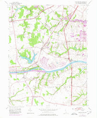
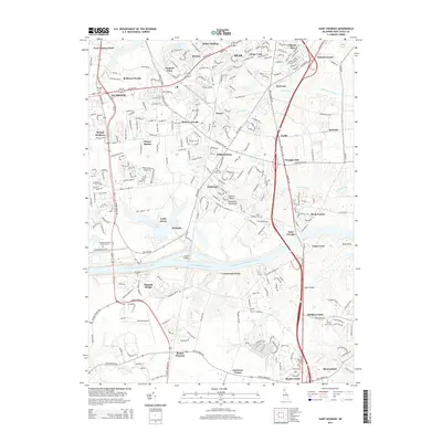
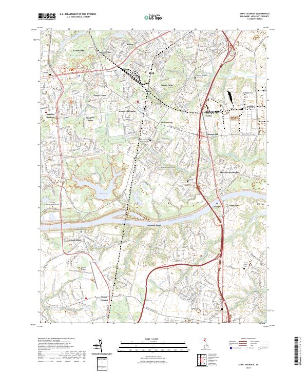
1953 Map of Saint Georges
USGS Topo · Published 1980About this map
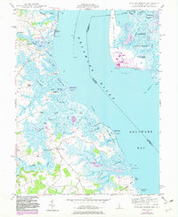
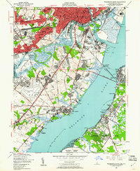
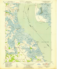
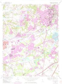
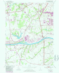
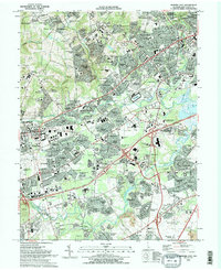
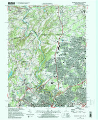
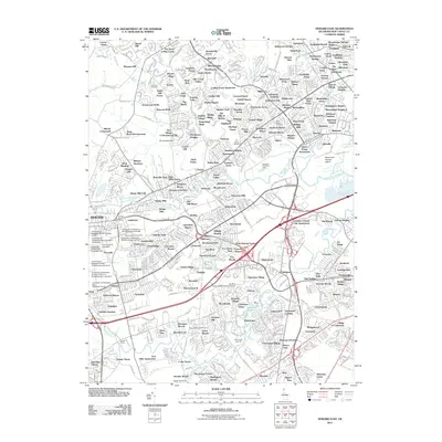
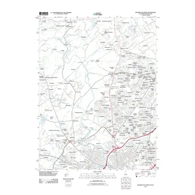
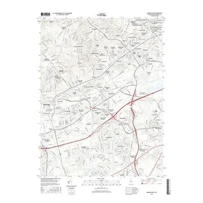
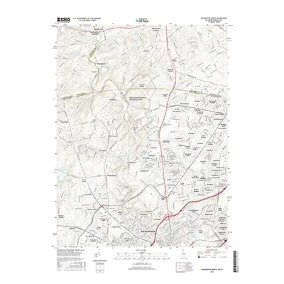
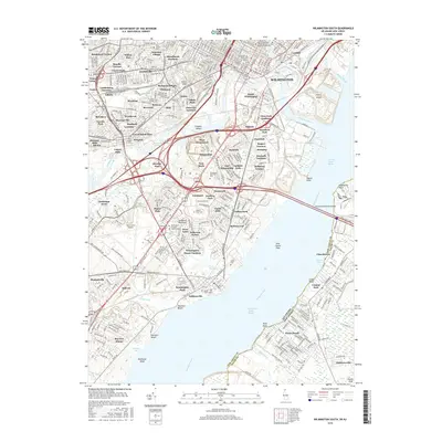
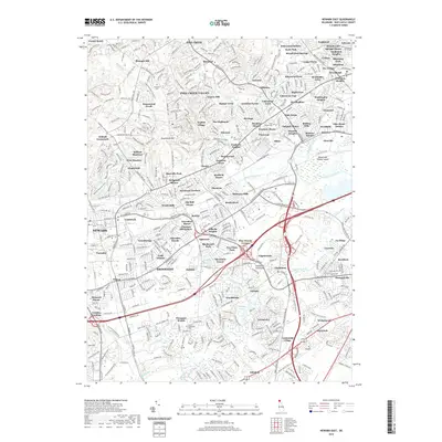
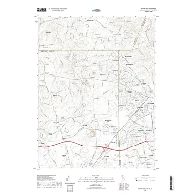
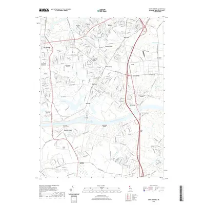
The Chesapeake and Delaware Canal serves as the dominant structural element of this New Castle County landscape, severing the coastal plain and dictating the placement of critical crossings like Summit Bridge. This mid-century survey, updated with 1970 revisions, illustrates a region transitioning from its agricultural roots toward suburban and industrial expansion. The Penn Central rail line connects established nodes like Kirkwood, Porter, and Glasgow Sta, while the development at Reybold and Corbit reflects the growing industrial footprint near the water. For genealogists and local historians, the map preserves the exact locations of rural centers such as Red Lion and MacDonough, alongside traditional landmarks like St Paul Ch and the Hickory Grove Cem. The presence of Summit Airfield and the expansion of Lums Pond indicate the diversifying land use in the areas surrounding Mt Pleasant and Boyds Corner.
Find a feature on this map
41 named features on this map. Tap any name to fly to it.
Don’t see what you’re looking for? This feature index may not catch every label — zoom into the map to look around manually.
Map Details
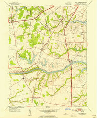
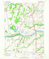
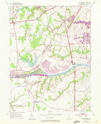
Editions of this 1953 Saint Georges Map
5 editions found
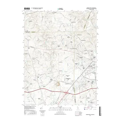
Historical Maps of Porter Through Time
47 maps found
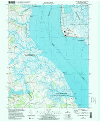
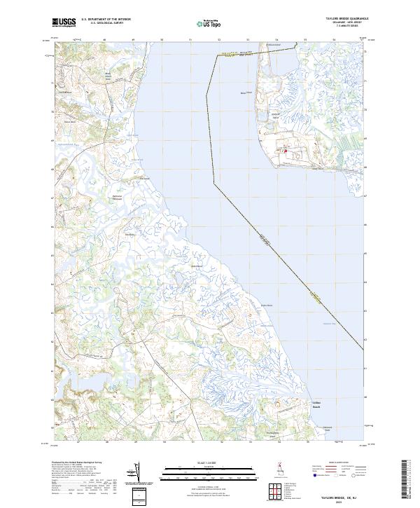
1948 Taylors Bridge
New Castle County, DE
1948 Wilmington South
New Castle County, DE
1950 Taylors Bridge
New Castle County, DE
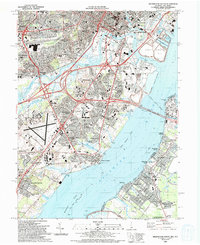
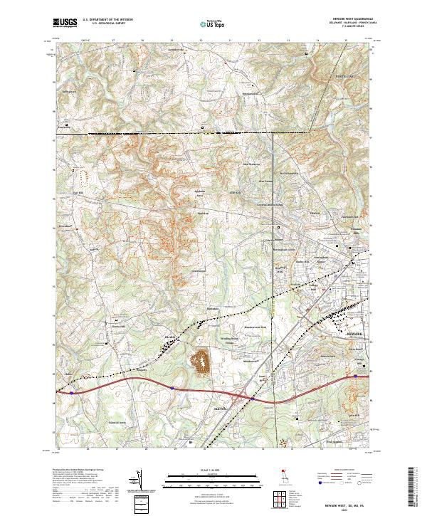
1953 Newark East
New Castle County, DE
1953 Saint Georges
New Castle County, DE
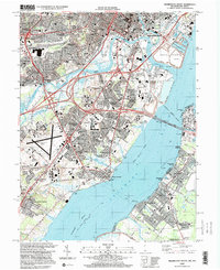
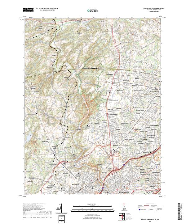
1954 Wilmington North
New Castle County, DE
1967 Wilmington North
New Castle County, DE

1967 Wilmington South
New Castle County, DE
1992 Newark West
New Castle County, DE
1993 Newark East
New Castle County, DE
1993 Saint Georges
New Castle County, DE
1993 Taylors Bridge
New Castle County, DE
1993 Wilmington North
New Castle County, DE
1993 Wilmington South
New Castle County, DE
1997 Wilmington North
New Castle County, DE
1997 Wilmington South
New Castle County, DE
1999 Taylors Bridge
New Castle County, DE
2011 Newark East
New Castle County, DE
2011 Newark West
New Castle County, DE
2011 Saint Georges
New Castle County, DE
2011 Taylors Bridge
New Castle County, DE
2011 Wilmington North
New Castle County, DE
2011 Wilmington South
New Castle County, DE
2014 Newark East
New Castle County, DE
2014 Newark West
New Castle County, DE
2014 Saint Georges
New Castle County, DE
2014 Taylors Bridge
New Castle County, DE
2014 Wilmington North
New Castle County, DE
2014 Wilmington South
New Castle County, DE
2016 Newark East
New Castle County, DE
2016 Newark West
New Castle County, DE
2016 Saint Georges
New Castle County, DE
2016 Taylors Bridge
New Castle County, DE
2016 Wilmington North
New Castle County, DE
2016 Wilmington South
New Castle County, DE
2019 Newark East
New Castle County, DE
2019 Newark West
New Castle County, DE
2019 Saint Georges
New Castle County, DE
2019 Taylors Bridge
New Castle County, DE
2019 Wilmington North
New Castle County, DE
2019 Wilmington South
New Castle County, DE

2023 Newark East
New Castle County, DE
2023 Newark West
New Castle County, DE
2023 Saint Georges
New Castle County, DE
2023 Taylors Bridge
New Castle County, DE
2023 Wilmington North
New Castle County, DE
2023 Wilmington South
New Castle County, DE