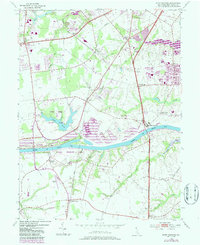
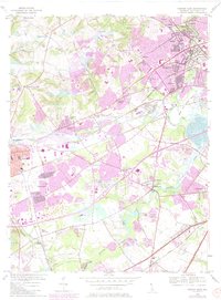
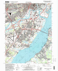
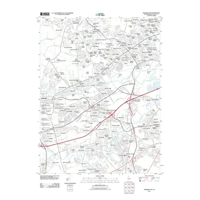
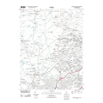
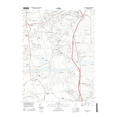
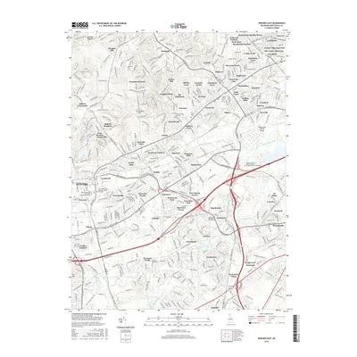
1953 Map of Saint Georges
USGS Topo · Published 1987About this map
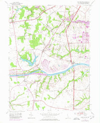
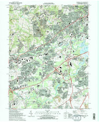
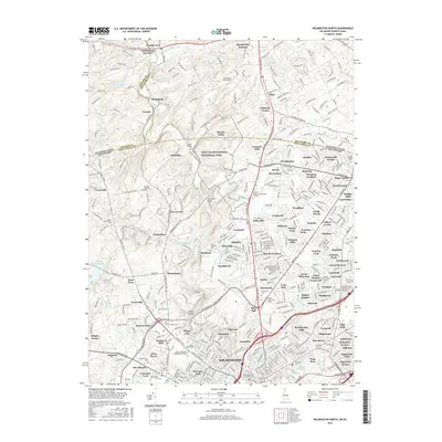
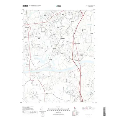
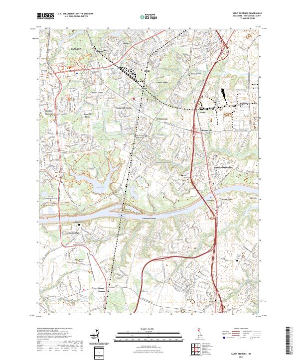
The Chesapeake and Delaware Canal dominates the central landscape of this New Castle County survey, cutting a direct path across the Delaware peninsula. At the canal's edge, the town of Saint Georges serves as a focal point for the region's shipping and transit history, while the crossing at Summit Bridge links the northern and southern halves of the quadrangle. To the north, the land is marked by small settlements and rail stops like Glasgow Sta and Kirkwood along the Conrail lines.
Find a feature on this map
40 named features on this map. Tap any name to fly to it.
Don’t see what you’re looking for? This feature index may not catch every label — zoom into the map to look around manually.
Map Details
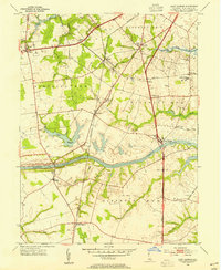
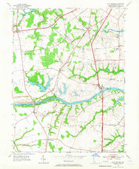
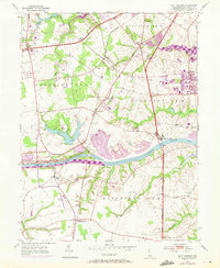
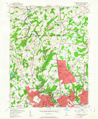
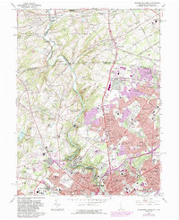
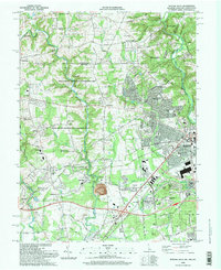
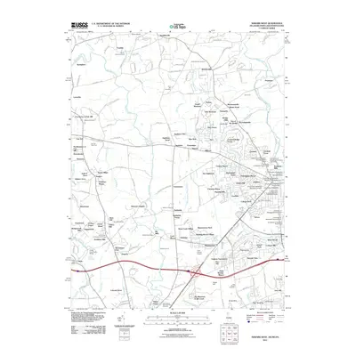
Editions of this 1953 Saint Georges Map
5 editions found
Historical Maps of Porter Through Time
47 maps found
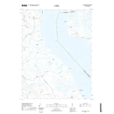
1948 Taylors Bridge
New Castle County, DE
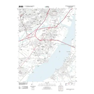
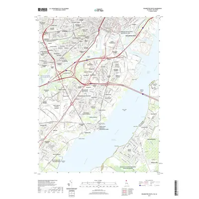
1948 Wilmington South
New Castle County, DE
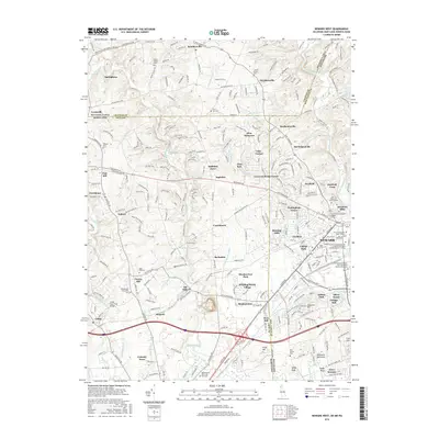
1950 Taylors Bridge
New Castle County, DE
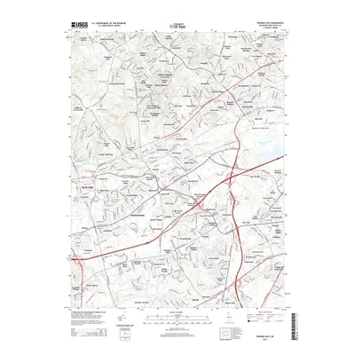
1953 Newark East
New Castle County, DE
1953 Saint Georges
New Castle County, DE
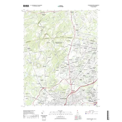
1954 Wilmington North
New Castle County, DE
1967 Wilmington North
New Castle County, DE

1967 Wilmington South
New Castle County, DE
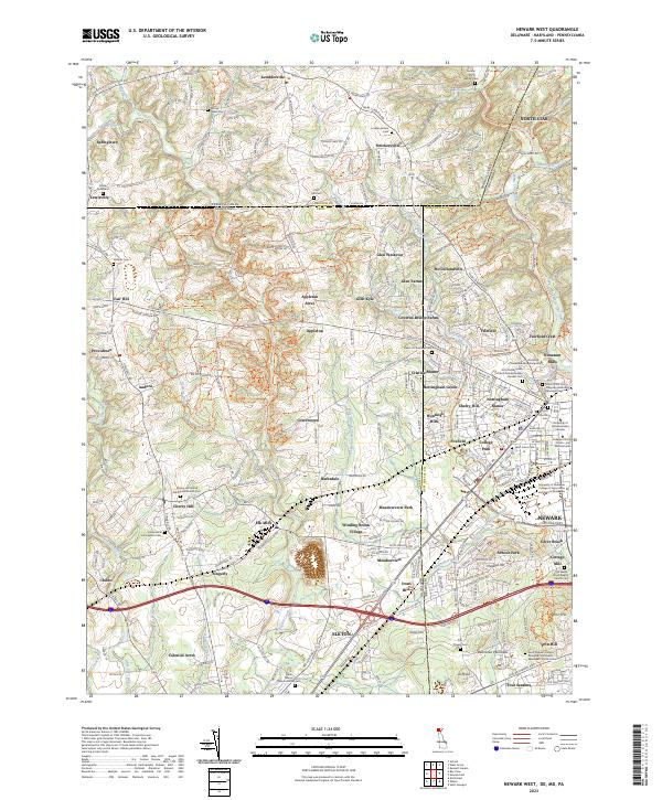
1992 Newark West
New Castle County, DE
1993 Newark East
New Castle County, DE
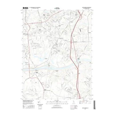
1993 Saint Georges
New Castle County, DE
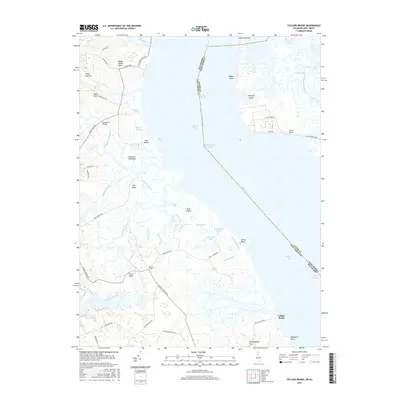
1993 Taylors Bridge
New Castle County, DE
1993 Wilmington North
New Castle County, DE
1993 Wilmington South
New Castle County, DE
1997 Wilmington North
New Castle County, DE
1997 Wilmington South
New Castle County, DE
1999 Taylors Bridge
New Castle County, DE
2011 Newark East
New Castle County, DE
2011 Newark West
New Castle County, DE
2011 Saint Georges
New Castle County, DE
2011 Taylors Bridge
New Castle County, DE
2011 Wilmington North
New Castle County, DE
2011 Wilmington South
New Castle County, DE
2014 Newark East
New Castle County, DE
2014 Newark West
New Castle County, DE
2014 Saint Georges
New Castle County, DE
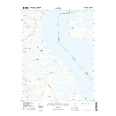
2014 Taylors Bridge
New Castle County, DE
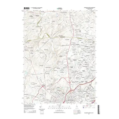
2014 Wilmington North
New Castle County, DE
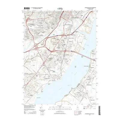
2014 Wilmington South
New Castle County, DE
2016 Newark East
New Castle County, DE
2016 Newark West
New Castle County, DE
2016 Saint Georges
New Castle County, DE
2016 Taylors Bridge
New Castle County, DE
2016 Wilmington North
New Castle County, DE
2016 Wilmington South
New Castle County, DE
2019 Newark East
New Castle County, DE
2019 Newark West
New Castle County, DE
2019 Saint Georges
New Castle County, DE
2019 Taylors Bridge
New Castle County, DE
2019 Wilmington North
New Castle County, DE
2019 Wilmington South
New Castle County, DE

2023 Newark East
New Castle County, DE
2023 Newark West
New Castle County, DE
2023 Saint Georges
New Castle County, DE
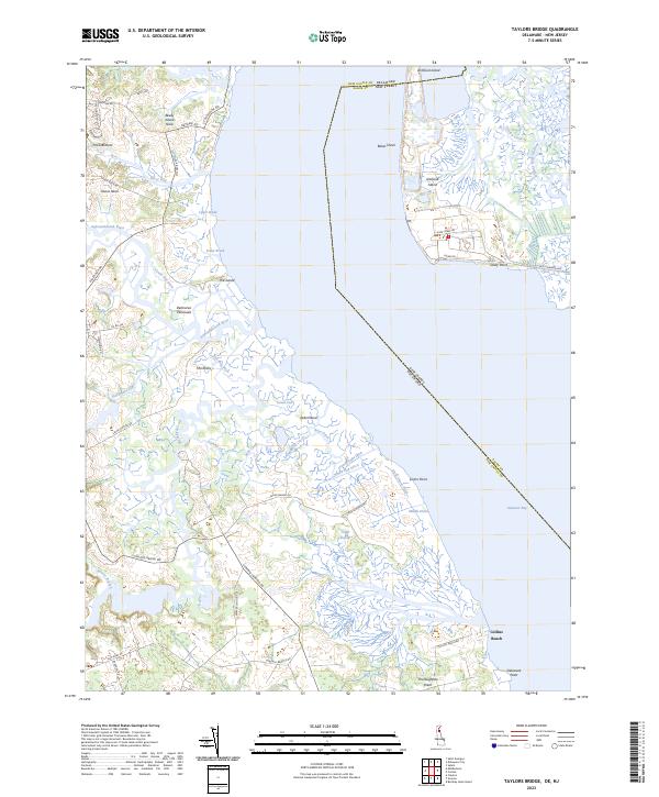
2023 Taylors Bridge
New Castle County, DE
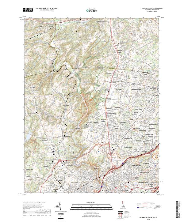
2023 Wilmington North
New Castle County, DE
2023 Wilmington South
New Castle County, DE