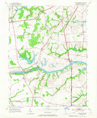
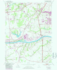
1953 Map of Saint Georges
USGS Topo · Published 1967About this map
The Chesapeake and Delaware Canal serves as the dominant horizontal axis of this northern Delaware landscape, carving through a region defined by colonial-era church congregations and shifting mid-century transport hubs. In the early 1950s, the village of Saint Georges sits at the canal’s edge, supported by a network of educational and spiritual centers like Kings College, MacDonough Sch, and Lebanon Ch. The Pennsylvania railroad line bisects the territory north-to-south, connecting smaller stations and communities such as Porter, Kirkwood, and Mt Pleasant. This period shows a rural environment poised between its agricultural roots and modern infrastructure, where family history is anchored at sites like Pencader Ch and Hickory Grove Cem, while the expansive waters of Lums Pond and Silver Lake provide significant local landmarks amidst the subdivided civil districts.
Find a feature on this map
44 named features on this map. Tap any name to fly to it.
Don’t see what you’re looking for? This feature index may not catch every label — zoom into the map to look around manually.
Map Details
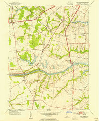
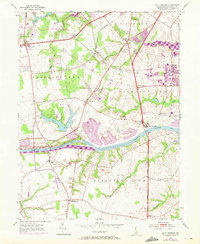
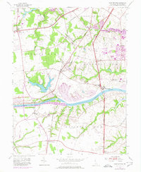
Editions of this 1953 Saint Georges Map
5 editions found
Other maps of this area

1898 · Elkton
USGS Topo · 1:62,500

1899 · Dover
USGS Topo · 1:125,000

1900 · Elkton
USGS Topo · 1:62,500

1900 · Cecilton
USGS Topo · 1:62,500

1904 · Wilmington
USGS Topo · 1:62,500

1906 · Dover
USGS Topo · 1:125,000

1906 · Wilmington
USGS Topo · 1:62,500

1917 · Elkton
USGS Topo · 1:62,500

1919 · Wilmington
USGS Topo · 1:62,500

1920 · Dover
USGS Topo · 1:125,000