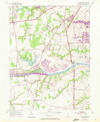
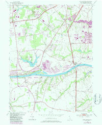
1953 Map of Saint Georges
USGS Topo · Published 1972About this map
The Chesapeake and Delaware Canal cuts a massive horizontal path across this landscape, serving as the dominant geographic and economic feature for Saint Georges and the surrounding countryside. This 1950s survey, updated with purple photorevisions from 1970, shows the mid-century evolution of New Castle County as residential and industrial expansion began to press against traditional agricultural boundaries. Near Summit Bridge, the Summit Airfield and the sprawling waters of Lums Pond indicate the area's transition toward recreation and modern infrastructure.
Find a feature on this map
41 named features on this map. Tap any name to fly to it.
Don’t see what you’re looking for? This feature index may not catch every label — zoom into the map to look around manually.
Map Details
Editions of this 1953 Saint Georges Map
5 editions found
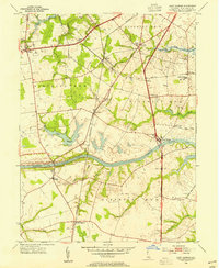
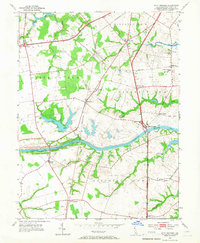
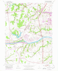
Other maps of this area

1898 · Elkton
USGS Topo · 1:62,500

1899 · Dover
USGS Topo · 1:125,000

1900 · Elkton
USGS Topo · 1:62,500

1900 · Cecilton
USGS Topo · 1:62,500

1904 · Wilmington
USGS Topo · 1:62,500

1906 · Dover
USGS Topo · 1:125,000

1906 · Wilmington
USGS Topo · 1:62,500

1917 · Elkton
USGS Topo · 1:62,500

1919 · Wilmington
USGS Topo · 1:62,500

1920 · Dover
USGS Topo · 1:125,000