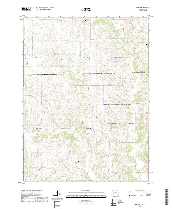
2021 Map of Saint John
USGS Topo · Published 2021About this map
The settlement of Saint John sits at the heart of this Missouri-Iowa border landscape, where the survey lines of t67n r20w and t67n r21w meet. The terrain is defined by the branching waters of Locust Cr and the W Fork Locust Cr, which carve through the northern rolling country. A network of rural roads including State Hwy E and State Hwy T connects the scattered homesteads and agricultural plots of this quiet region.
Find a feature on this map
39 named features on this map. Tap any name to fly to it.
Don’t see what you’re looking for? This feature index may not catch every label — zoom into the map to look around manually.
Map Details
Editions of this 2021 Saint John Map
This is the sole edition of this map. No revisions or reprints were ever made.
Historical Maps of Iowa Through Time
18 maps found

1964 Pollock NW
Putnam County, MO

1964 Unionville West
Putnam County, MO
1974 Green City NE
Putnam County, MO
1974 Green City NW
Putnam County, MO
1979 Graysville
Putnam County, MO
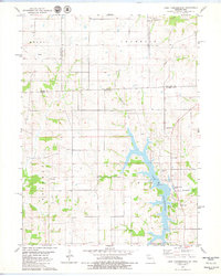
1979 Lake Thunderhead
Putnam County, MO
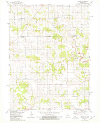
1979 Mendota
Putnam County, MO
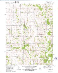
1979 St. John
Putnam County, MO
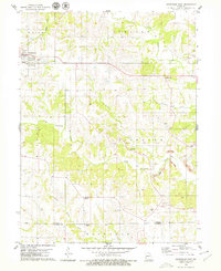
1979 Unionville East
Putnam County, MO
1980 Omaha
Putnam County, MO
2021 Graysville
Putnam County, MO
2021 Lake Thunderhead
Putnam County, MO
2021 Mendota
Putnam County, MO
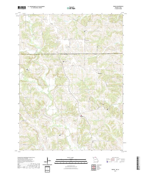
2021 Omaha
Putnam County, MO
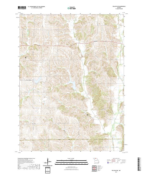
2021 Pollock NW
Putnam County, MO
2021 Saint John
Putnam County, MO
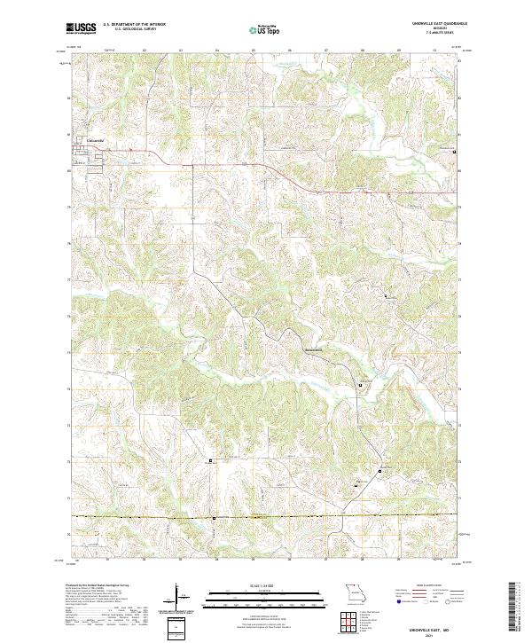
2021 Unionville East
Putnam County, MO
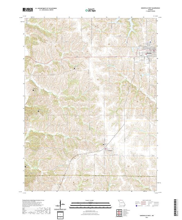
2021 Unionville West
Putnam County, MO