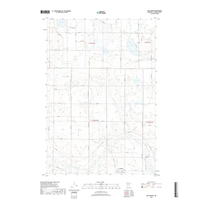
2019 Map of Saint Martin
USGS Topo · Published 2019About this map
St. Martin occupies the southern reach of this Stearns County landscape, situated where Co Rd 195 and Co Rd 12 converge near the winding path of the Sauk River. The region is defined by its post-glacial topography, featuring a dense network of water bodies including Lake Maria, Sand Lake, Getchell Lake, and Gravel Lake. These lakes are connected by a system of rural drainage and natural flows like Getchell Cr and County Ditch Number Fifteen. Local history is anchored by sites such as the Saint Martin Cem and Immanuel Cem, which reflect the area's early settlement patterns. The map details a grid of country roads, including Sauk Valley Rd, Merlin Rd, and Oakview Rd, that partition the agricultural sections and provide access to the various shorelines throughout the township.
Find a feature on this map
42 named features on this map. Tap any name to fly to it.
Don’t see what you’re looking for? This feature index may not catch every label — zoom into the map to look around manually.
Map Details
Editions of this 2019 Saint Martin Map
This is the sole edition of this map. No revisions or reprints were ever made.
Other maps of this area

1953 · Saint Cloud
USGS Topo · 1:250,000

1957 · Saint Cloud
USGS Topo · 1:250,000

1958 · Saint Cloud
USGS Topo · 1:250,000

1965 · Albany
USGS Topo · 1:24,000

1965 · Farming
USGS Topo · 1:24,000

1965 · Greenwald
USGS Topo · 1:24,000

1965 · Melrose
USGS Topo · 1:24,000

1965 · Freeport
USGS Topo · 1:24,000

1965 · St Martin
USGS Topo · 1:24,000

1967 · Paynesville
USGS Topo · 1:24,000