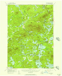
1955 Map of Saint Regis
USGS Topo · Published 1957About this map
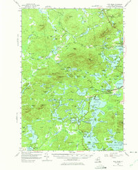
Paul Smiths College and the neighboring settlement of Paul Smiths serve as the cultural anchor in this mid-century topographic survey of the northern Adirondacks. The landscape is defined by an intricate network of interconnected waterways, including the Upper Saint Regis and Follensby Clear Pond, which supported the region's developing recreational and educational identity. The New York Central Railroad cuts a path through the southern half of the quadrangle, passing through Floodwood and providing essential access to the remote backcountry. Evidence of local industry and infrastructure is visible at Keese Mill and the Adirondack Fish Hatchery near Saranac Inn Station. Significant public lands are marked by the Fish Creek Public Campsite and a Fire Truck Trail, reflecting the state's active management of the forest preserve during this era.
Find a feature on this map
139 named features on this map. Tap any name to fly to it.
Don’t see what you’re looking for? This feature index may not catch every label — zoom into the map to look around manually.
Map Details
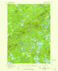
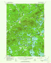
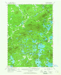
Editions of this 1955 Saint Regis Map
5 editions found
Other maps of this area

1902 · Saranac
USGS Topo · 1:62,500

1904 · Saranac
USGS Topo · 1:62,500

1904 · Santanoni
USGS Topo · 1:62,500

1904 · Long Lake
USGS Topo · 1:62,500

1905 · Saint Regis
USGS Topo · 1:62,500

1906 · Loon Lake
USGS Topo · 1:62,500

1907 · Tupper Lake
USGS Topo · 1:62,500

1908 · Loon Lake
USGS Topo · 1:62,500

1919 · Nicholville
USGS Topo · 1:62,500

1920 · Childwold
USGS Topo · 1:62,500