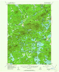
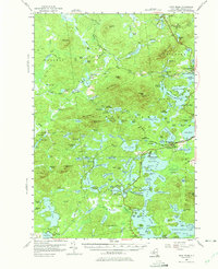
1955 Map of Saint Regis
USGS Topo · Published 1962About this map
Paul Smiths College and the lakeside community of Saranac Inn anchor this mid-century survey of the northern Adirondacks. The map captures a landscape defined by its waters, from the headwaters of the Saint Regis River to the complex shorelines of Upper Saint Regis Lake and Middle Saranac Lake. Historically significant infrastructure is evident in the New York Central Railroad corridor and the State Fish Hatchery near Saranac Inn Sta.
Find a feature on this map
158 named features on this map. Tap any name to fly to it.
Don’t see what you’re looking for? This feature index may not catch every label — zoom into the map to look around manually.
Map Details
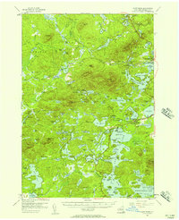
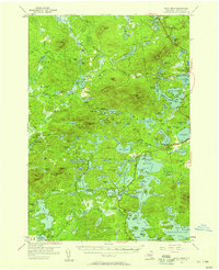
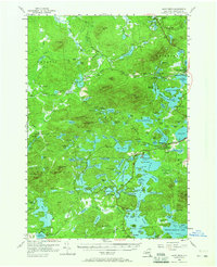
Editions of this 1955 Saint Regis Map
5 editions found
Other maps of this area

1902 · Saranac
USGS Topo · 1:62,500

1904 · Saranac
USGS Topo · 1:62,500

1904 · Santanoni
USGS Topo · 1:62,500

1904 · Long Lake
USGS Topo · 1:62,500

1905 · Saint Regis
USGS Topo · 1:62,500

1906 · Loon Lake
USGS Topo · 1:62,500

1907 · Tupper Lake
USGS Topo · 1:62,500

1908 · Loon Lake
USGS Topo · 1:62,500

1919 · Nicholville
USGS Topo · 1:62,500

1920 · Childwold
USGS Topo · 1:62,500