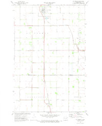
1972 Map of Saint Thomas
USGS Topo · Published 1974About this map
St Thomas serves as the primary hub of this Red River Valley landscape, centered on the intersection of highway routes and the Burlington Northern railroad corridor. The 1970s survey captures a deeply organized agricultural grid across the townships of Midland, Farmington, and Martin. Beyond the main townsite, the smaller settlement of Auburn sits to the south along the rail line, while the St Thomas Municipal Airfield occupies land just west of the city center. Genealogists will find interest in the documented burial grounds serving these rural communities, including St Johns Cem and Landstad Cem. The drainage of the flat prairie is meticulously managed by features like Willow Creek and the extensive County Ditch No 67A, which cut across the field lines that dominate the geography of Pembina and Walsh counties.
Find a feature on this map
15 named features on this map. Tap any name to fly to it.
Don’t see what you’re looking for? This feature index may not catch every label — zoom into the map to look around manually.
Map Details
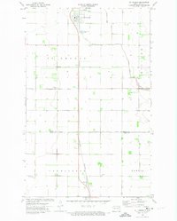
Editions of this 1972 Saint Thomas Map
2 editions found
Other maps of this area

1939 · Glasston
USGS Topo · 1:62,500

1941 · Glasston
USGS Topo · 1:62,500

1943 · Grafton
USGS Topo · 1:62,500

1944 · Crystal
USGS Topo · 1:62,500

1952 · Thief River Falls
USGS Topo · 1:250,000

1956 · Thief River Falls
USGS Topo · 1:250,000

1957 · Thief River Falls
USGS Topo · 1:250,000

1960 · Grafton
USGS Topo · 1:24,000
1960 · Oakwood
USGS Topo · 1:24,000

1963 · Crystal SE
USGS Topo · 1:24,000