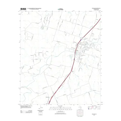
2013 Map of Salado
USGS Topo · Published 2013About this map
Salado serves as the central hub of this Central Texas landscape, positioned along the busy corridor of I-35. The map illustrates a community shaped by its hydrology, where Salado Cr and its various tributaries like Mustang Cr, Willingham Br, and Buttermilk Cr carve through the limestone terrain. To the north, the reaches of Stillhouse Hollow Lake touch the quadrangle, while the local geography is dotted with landmarks such as Salado Springs and the E S C Robertson Ranch Lake.
Find a feature on this map
109 named features on this map. Tap any name to fly to it.
Don’t see what you’re looking for? This feature index may not catch every label — zoom into the map to look around manually.
Map Details
Editions of this 2013 Salado Map
This is the sole edition of this map. No revisions or reprints were ever made.
Other maps of this area

1885 · Taylor
USGS Topo · 1:125,000

1887 · Taylor
USGS Topo · 1:125,000

1892 · Temple
USGS Topo · 1:125,000

1893 · Georgetown
USGS Topo · 1:125,000

1894 · Gatesville
USGS Topo · 1:125,000

1894 · Taylor
USGS Topo · 1:125,000

1924 · Gatesville 4-d
USGS Topo · 1:48,000

1924 · Temple 3-C
USGS Topo · 1:48,000

1930 · Killeen
USGS Topo · 1:62,500

1931 · Belton
USGS Topo · 1:62,500