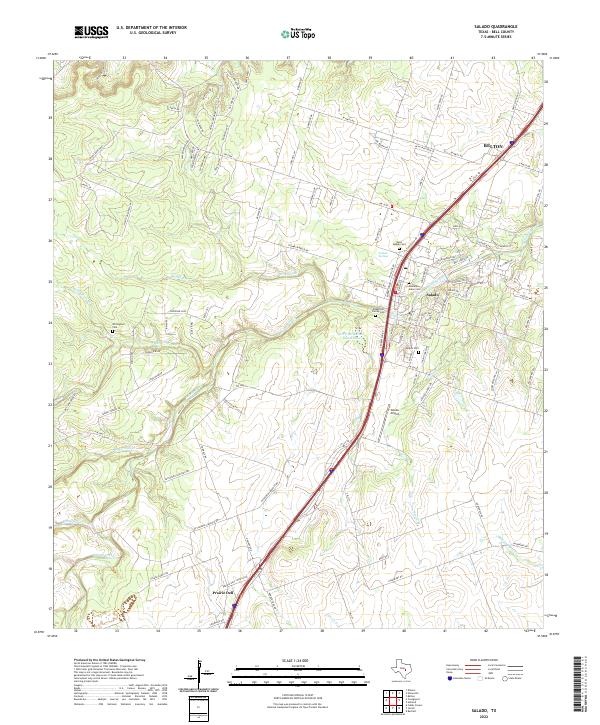
2022 Map of Salado
USGS Topo · Published 2022About this map
Salado serves as the central hub of this Bell County landscape, defined by the winding course of Salado Creek and its numerous tributaries. The geography reflects a deep-rooted settlement history, particularly evident in the cluster of burial grounds including West Salado Cem, Hamblen-Aiken Cem, and the Robertson Family Cem. These sites, along with the Salado Springs, point to the area's early importance as a water-rich crossing point in central Texas.
Find a feature on this map
112 named features on this map. Tap any name to fly to it.
Don’t see what you’re looking for? This feature index may not catch every label — zoom into the map to look around manually.
Map Details
Editions of this 2022 Salado Map
This is the sole edition of this map. No revisions or reprints were ever made.
Other maps of this area

1885 · Taylor
USGS Topo · 1:125,000

1887 · Taylor
USGS Topo · 1:125,000

1892 · Temple
USGS Topo · 1:125,000

1893 · Georgetown
USGS Topo · 1:125,000

1894 · Gatesville
USGS Topo · 1:125,000

1894 · Taylor
USGS Topo · 1:125,000

1924 · Gatesville 4-d
USGS Topo · 1:48,000

1924 · Temple 3-C
USGS Topo · 1:48,000

1930 · Killeen
USGS Topo · 1:62,500

1931 · Belton
USGS Topo · 1:62,500