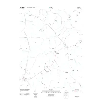
2013 Map of Salem
USGS Topo · Published 2013About this map
The town of Salem serves as the focal point for this survey of Livingston County, Kentucky, showcasing a landscape defined by small rural hubs and a network of named springs and creek branches. Agricultural and residential patterns are evident near settlements like Sheridan, Levias, and New Salem, while the terrain is marked by distinctive elevations such as Hardin Knob and the Eberle Knobs. The map provides significant detail for genealogists, documenting numerous family and community burial grounds including Salem Cem, Mt Zion Cem, and Love Cem.
Find a feature on this map
113 named features on this map. Tap any name to fly to it.
Don’t see what you’re looking for? This feature index may not catch every label — zoom into the map to look around manually.
Map Details
Editions of this 2013 Salem Map
This is the sole edition of this map. No revisions or reprints were ever made.
Other maps of this area
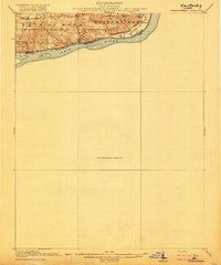
1916 · Fords Ferry
USGS Topo · 1:62,500
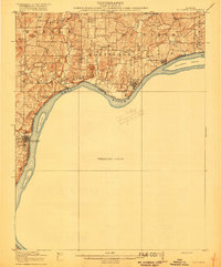
1916 · Golconda
USGS Topo · 1:62,500
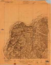
1920 · Goloonda
USGS Topo · 1:48,000
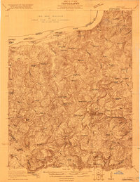
1921 · Fords Ferry
USGS Topo · 1:48,000
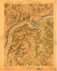
1921 · Golconda
USGS Topo · 1:62,500
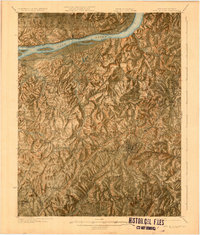
1925 · Cave In Rock
USGS Topo · 1:62,500
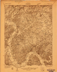
1928 · Eddyville
USGS Topo · 1:48,000
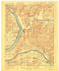
1929 · Smithland
USGS Topo · 1:62,500
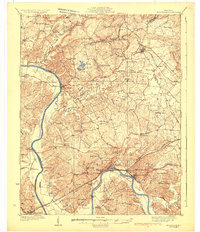
1931 · Eddyville
USGS Topo · 1:62,500
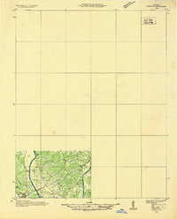
1936 · Eddyville
USGS Topo · 1:48,000