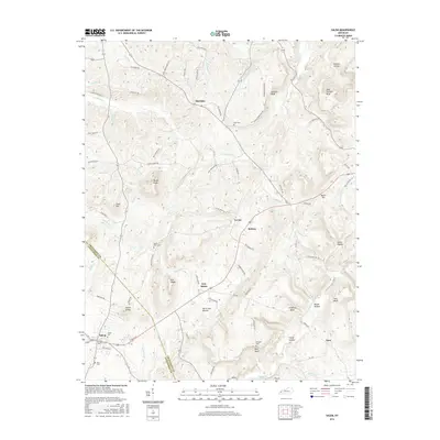
2016 Map of Salem
USGS Topo · Published 2016About this map
Salem and its neighboring communities are documented here within the transition from the Western Coal Field to the Pennyroyal region. The landscape is marked by numerous family-named landmarks and rural burials, including Love Cem, Mount Zion Cem, and Sisco Cemetery. Small hamlets such as Sheridan, Levias, and Midway are connected by a network of winding local roads like Irma White Rd and Deer Creek Church Rd. The topographic detail reveals a terrain defined by significant bluffs and knobs, most notably Hardin Knob, Eberle Knobs, and the prominent John Thomas Bluff overlooking the northeastern valleys. Hydrological features like Dry Fork and Claylick Cr provide the drainage for this undulating rural countryside, where springs like Crooked Spring once served as vital water sources for early residents.
Find a feature on this map
87 named features on this map. Tap any name to fly to it.
Don’t see what you’re looking for? This feature index may not catch every label — zoom into the map to look around manually.
Map Details
Editions of this 2016 Salem Map
This is the sole edition of this map. No revisions or reprints were ever made.
Other maps of this area

1916 · Fords Ferry
USGS Topo · 1:62,500

1916 · Golconda
USGS Topo · 1:62,500

1920 · Goloonda
USGS Topo · 1:48,000

1921 · Fords Ferry
USGS Topo · 1:48,000

1921 · Golconda
USGS Topo · 1:62,500

1925 · Cave In Rock
USGS Topo · 1:62,500

1928 · Eddyville
USGS Topo · 1:48,000

1929 · Smithland
USGS Topo · 1:62,500

1931 · Eddyville
USGS Topo · 1:62,500

1936 · Eddyville
USGS Topo · 1:48,000