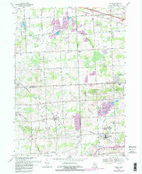
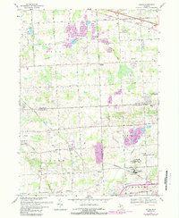
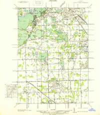
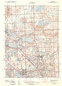
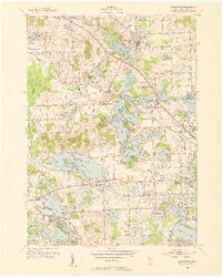
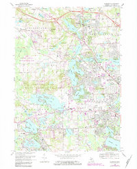
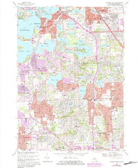
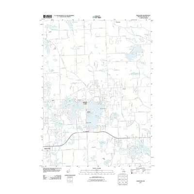
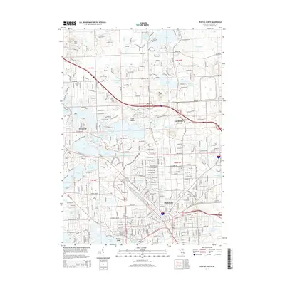
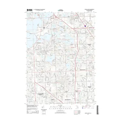
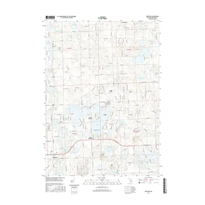
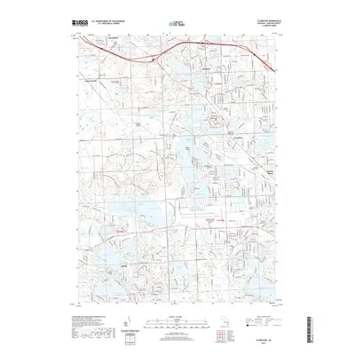
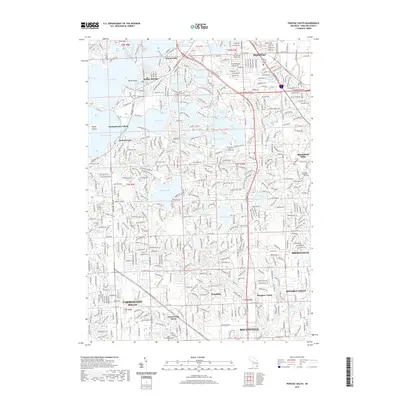
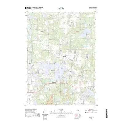
1969 Map of Salem
USGS Topo · Published 1989About this map
The boundary lines of Oakland, Washtenaw, and Wayne counties converge in this landscape defined by suburban expansion and specialized institutions. A massive industrial and correctional footprint dominates the southeast near Northville, including the Detroit House of Correction (Women) and the Detroit House of Correction (Men). The transit network is anchored by the Chesapeake and Ohio railroad and a grid of numbered roads from 5 Mile Road up to 12 Mile Road.
Find a feature on this map
61 named features on this map. Tap any name to fly to it.
Don’t see what you’re looking for? This feature index may not catch every label — zoom into the map to look around manually.
Map Details
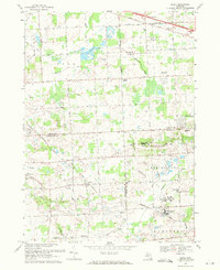
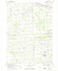
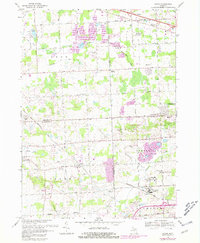
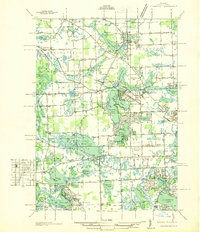
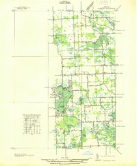
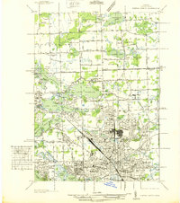
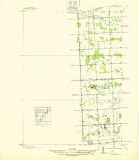
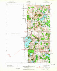
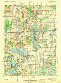
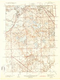
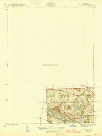
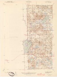
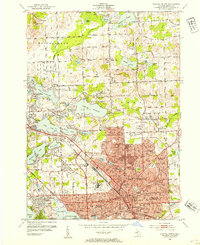
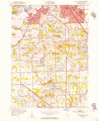
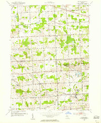
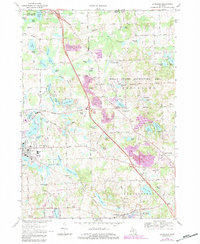
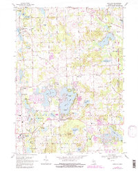
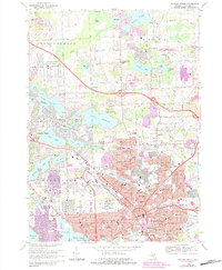
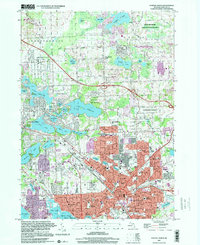
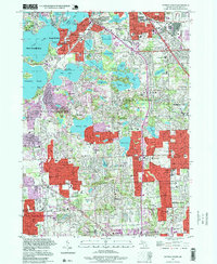
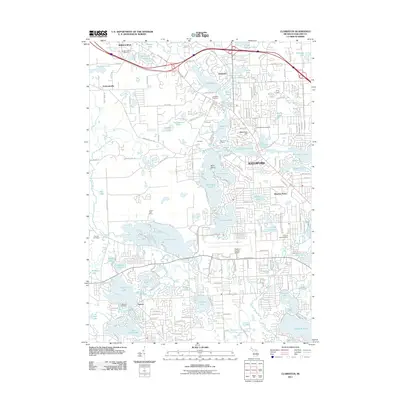
Editions of this 1969 Salem Map
5 editions found
Historical Maps of Novi Through Time
54 maps found
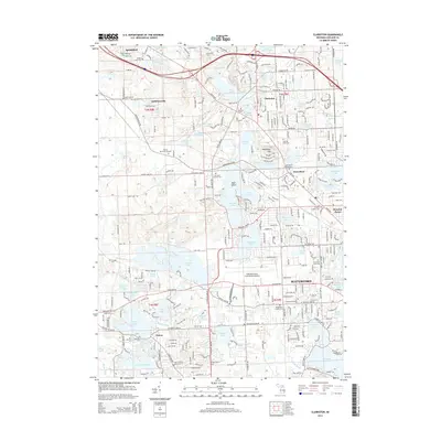
1936 Clarkston
Oakland County, MI
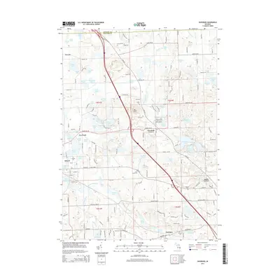
1936 Highland
Oakland County, MI
1936 Pontiac North
Oakland County, MI
1936 Pontiac South
Oakland County, MI
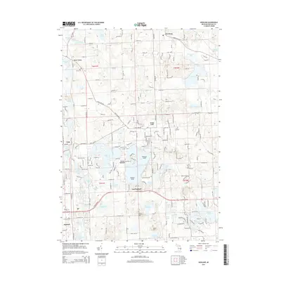
1936 Salem
Oakland County, MI
1942 Highland
Oakland County, MI
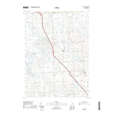
1943 Clarkston
Oakland County, MI
1943 Pontiac North
Oakland County, MI
1943 Pontiac South
Oakland County, MI
1945 Davisburg
Oakland County, MI
1945 Highland
Oakland County, MI

1945 Salem
Oakland County, MI
1952 Clarkston
Oakland County, MI
1952 Pontiac North
Oakland County, MI
1952 Pontiac South
Oakland County, MI
1953 Salem
Oakland County, MI
1968 Clarkston
Oakland County, MI
1968 Davisburg
Oakland County, MI
1968 Highland
Oakland County, MI
1968 Pontiac North
Oakland County, MI
1968 Pontiac South
Oakland County, MI
1969 Salem
Oakland County, MI
1997 Pontiac North
Oakland County, MI
1997 Pontiac South
Oakland County, MI
2011 Clarkston
Oakland County, MI

2011 Davisburg
Oakland County, MI
2011 Highland
Oakland County, MI
2011 Pontiac North
Oakland County, MI
2011 Pontiac South
Oakland County, MI
2011 Salem
Oakland County, MI
2014 Clarkston
Oakland County, MI
2014 Davisburg
Oakland County, MI
2014 Highland
Oakland County, MI
2014 Pontiac North
Oakland County, MI
2014 Pontiac South
Oakland County, MI
2014 Salem
Oakland County, MI
2017 Clarkston
Oakland County, MI
2017 Davisburg
Oakland County, MI
2017 Highland
Oakland County, MI
2017 Pontiac North
Oakland County, MI
2017 Pontiac South
Oakland County, MI
2017 Salem
Oakland County, MI
2019 Clarkston
Oakland County, MI
2019 Davisburg
Oakland County, MI
2019 Highland
Oakland County, MI
2019 Pontiac North
Oakland County, MI
2019 Pontiac South
Oakland County, MI
2019 Salem
Oakland County, MI
2023 Clarkston
Oakland County, MI
2023 Davisburg
Oakland County, MI
2023 Highland
Oakland County, MI
2023 Pontiac North
Oakland County, MI
2023 Pontiac South
Oakland County, MI
2023 Salem
Oakland County, MI
Featured Locations
- Wixom, MI
- Lyon Charter Township, MI
- Novi, MI
- Northville Charter Township, MI
- Plymouth Charter Township, MI