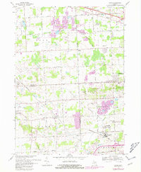
1969 Map of Salem
USGS Topo · Published 1981About this map
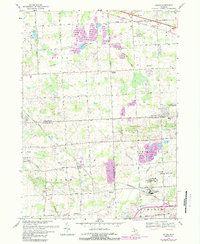
Salem and the surrounding townships in Oakland, Washtenaw, and Wayne counties reveal a landscape defined by industrial extraction and public institutions during the mid-to-late 20th century. Large-scale Gravel Pits dominate the northern terrain near Wixom, while the southern reaches feature the extensive grounds of the Detroit House of Correction (Men) and Detroit House of Correction (Women). The Chesapeake and Ohio railroad cuts diagonally across the area, serving as a primary corridor for the region's movement of goods and people.
Find a feature on this map
53 named features on this map. Tap any name to fly to it.
Don’t see what you’re looking for? This feature index may not catch every label — zoom into the map to look around manually.
Map Details
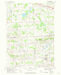
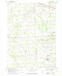
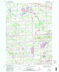
Editions of this 1969 Salem Map
5 editions found
Other maps of this area

1902 · South Lyon
USGS Topo · 1:62,500

1904 · Ann Arbor
USGS Topo · 1:125,000

1905 · Wayne
USGS Topo · 1:62,500

1906 · South Lyon
USGS Topo · 1:62,500

1907 · Pontiac
USGS Topo · 1:62,500

1908 · Ann Arbor
USGS Topo · 1:125,000

1909 · Milford
USGS Topo · 1:62,500

1912 · Wayne
USGS Topo · 1:62,500

1936 · Wayne
USGS Topo · 1:31,680

1936 · Wixom
USGS Topo · 1:31,680
Featured Places
- Novi, MI
- Northville Charter Township, MI
- Plymouth Charter Township, MI
- Lyon Charter Township, MI
- Wixom, MI