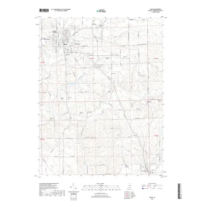
2019 Map of Salem
USGS Topo · Published 2019About this map
Salem sits at the heart of this Washington County landscape, where the W Fork Blue River and Hoggatt Br define the local drainage patterns. The area is dense with family and community history, evidenced by a high concentration of burial grounds including the Hicksite Church Cem and the geographically significant Old Blue River Cem and New Old Blue River Cem. These sites, along with the Blue River Mound, suggest a long-standing pattern of settlement and reverence for the land bordering the river forks.
Find a feature on this map
139 named features on this map. Tap any name to fly to it.
Don’t see what you’re looking for? This feature index may not catch every label — zoom into the map to look around manually.
Map Details
Editions of this 2019 Salem Map
This is the sole edition of this map. No revisions or reprints were ever made.
Other maps of this area

1941 · Borden
USGS Topo · 1:24,000

1950 · Salem
USGS Topo · 1:24,000

1950 · Becks Mill
USGS Topo · 1:24,000

1950 · Palmyra
USGS Topo · 1:24,000

1951 · Smedley
USGS Topo · 1:24,000

1953 · Fredericksburg
USGS Topo · 1:24,000

1953 · Kossuth
USGS Topo · 1:24,000

1955 · South Boston
USGS Topo · 1:24,000

1956 · Vincennes
USGS Topo · 1:250,000

1956 · Louisville
USGS Topo · 1:250,000