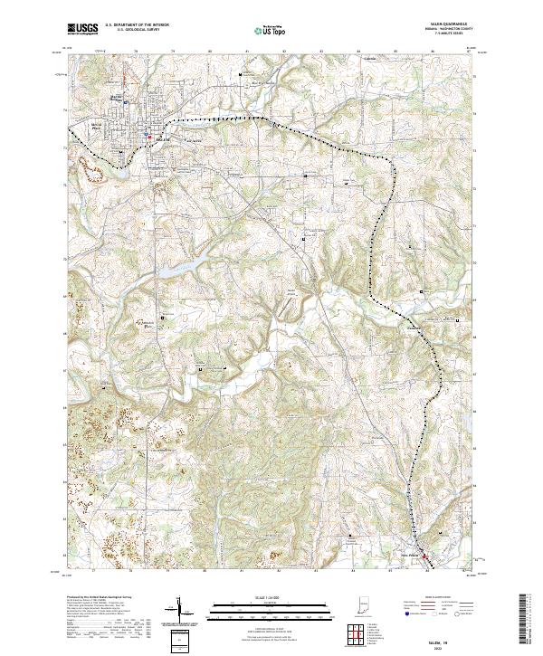
2022 Map of Salem
USGS Topo · Published 2022About this map
Salem serves as the focal point of this Washington County landscape, surrounded by residential developments like Martin Heights, McCol Place, and Fair Acres. The geography is defined by the complex drainage of the Blue River system, including the W Fork Blue River and Middle Fork Blue River, which carve through the Mitchell Plain and around the prominent Blue River Mound.
Find a feature on this map
80 named features on this map. Tap any name to fly to it.
Don’t see what you’re looking for? This feature index may not catch every label — zoom into the map to look around manually.
Map Details
Editions of this 2022 Salem Map
This is the sole edition of this map. No revisions or reprints were ever made.
Other maps of this area

1941 · Borden
USGS Topo · 1:24,000

1950 · Salem
USGS Topo · 1:24,000

1950 · Becks Mill
USGS Topo · 1:24,000

1950 · Palmyra
USGS Topo · 1:24,000

1951 · Smedley
USGS Topo · 1:24,000

1953 · Fredericksburg
USGS Topo · 1:24,000

1953 · Kossuth
USGS Topo · 1:24,000

1955 · South Boston
USGS Topo · 1:24,000

1956 · Vincennes
USGS Topo · 1:250,000

1956 · Louisville
USGS Topo · 1:250,000