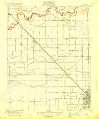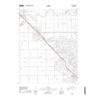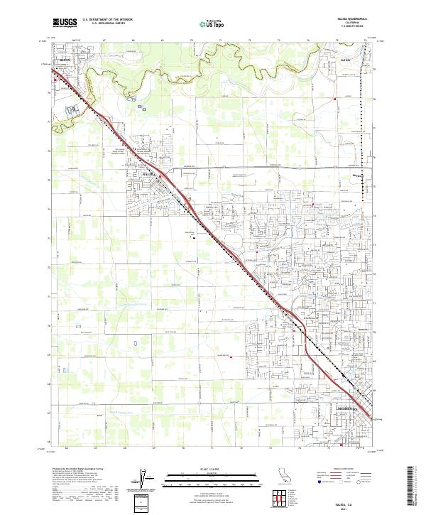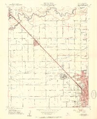
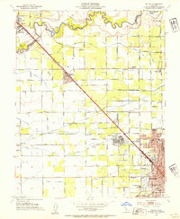
1953 Map of Salida
USGS Topo · Published 1954About this map
The Stanislaus River defines the northern reaches of this central California landscape, where the agricultural infrastructure of the San Joaquin Valley is on full display. The Modesto Main Canal and various irrigation laterals, such as Lateral No 6 and Lateral No 8, crisscross the territory between Salida and Modesto. Significant regional infrastructure is documented, including the Hetch Hetchy Aqueduct and the massive footprint of the Modesto State Hospital just north of the city center. This era in Stanislaus County shows a mix of traditional rural life and mid-century modernities, like the Drive-in Theatre near the Southern Pacific tracks and the Del Rio Golf and Country Club along the river. Local genealogy is well-served by numerous rural institutions, including Hart School, Prescott Sch, and Ransom Sch.
Find a feature on this map
78 named features on this map. Tap any name to fly to it.
Don’t see what you’re looking for? This feature index may not catch every label — zoom into the map to look around manually.
Map Details
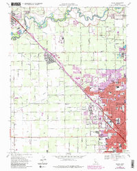
Editions of this 1953 Salida Map
2 editions found
Historical Maps of Modesto Through Time
7 maps found