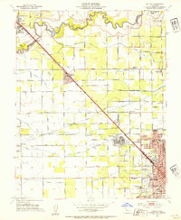
1953 Map of Salida
USGS Topo · Published 1954About this map
The Stanislaus River defines the northern boundary of this agricultural landscape as it appeared in the early 1950s, with its winding course separating San Joaquin and Stanislaus counties. Irrigation infrastructure is central to the area's development, evidenced by a dense network of water features including the Modesto Main Canal and the subterranean Hetch Hetchy Aqueduct. The growing city of Modesto is anchored in the southeast by the sprawling grounds of the Modesto State Hospital and the early campus of the Junior College. Moving northwest along the Southern Pacific railroad, the small community of Salida serves as a rural hub, surrounded by family-named roads like Murphy Road and Adair Road. Local social life is marked by landmarks such as the Swiss Club and a Drive-in Theatre near the town center, while numerous country schools like Ransom Sch and Hart School suggest a well-established rural population.
Find a feature on this map
113 named features on this map. Tap any name to fly to it.
Don’t see what you’re looking for? This feature index may not catch every label — zoom into the map to look around manually.
Map Details
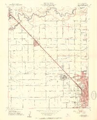
Editions of this 1953 Salida Map
2 editions found
Other maps of this area

1914 · Manteca
USGS Topo · 1:31,680

1914 · Avena
USGS Topo · 1:31,680

1915 · Ripon
USGS Topo · 1:31,680

1915 · Westport
USGS Topo · 1:31,680

1915 · Westley
USGS Topo · 1:31,680

1915 · Salida
USGS Topo · 1:31,680

1915 · Thalheim
USGS Topo · 1:31,680

1916 · Riverbank
USGS Topo · 1:31,680

1916 · Ceres
USGS Topo · 1:31,680

1939 · Modesto East
USGS Topo · 1:62,500