
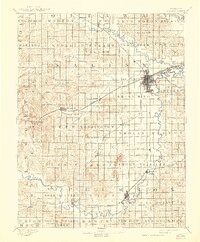
1892 Map of Salina
USGS Topo · Published 1892About this map
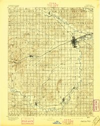
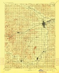
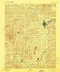
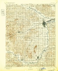
The Salina townsite serves as a critical rail hub in the 1890s, where the Union Pacific Railway, Missouri Pacific Railway, and Chicago Rock Island & Pacific Ry. converge near the confluence of the Saline River and Smoky Hill River. This survey captures the region’s development as a central agricultural and transport corridor, with numerous small stations and settlements like Bavaria, Brookville, and Terra Cotta lining the tracks. To the south, Lindsborg and Marquette anchor the valley, while the terrain is marked by distinctive natural landmarks such as North Pole Mound and the Smoky Hill Buttes. The intricate network of township boundaries, from Elm Creek to New Gottland, reveals the systematic division of the Kansas prairie during this era of rapid western expansion.
Find a feature on this map
74 named features on this map. Tap any name to fly to it.
Don’t see what you’re looking for? This feature index may not catch every label — zoom into the map to look around manually.
Map Details
Editions of this 1892 Salina Map
6 editions found
Other maps of this area

1889 · Newton
USGS Topo · 1:125,000

1889 · Abilene
USGS Topo · 1:125,000

1891 · Hutchinson
USGS Topo · 1:125,000

1891 · Clay Center
USGS Topo · 1:125,000

1892 · Minneapolis
USGS Topo · 1:125,000

1893 · Hutchinson
USGS Topo · 1:125,000

1894 · Ellsworth
USGS Topo · 1:125,000

1894 · Newton
USGS Topo · 1:125,000

1894 · Abilene
USGS Topo · 1:125,000

1894 · Lyons
USGS Topo · 1:125,000