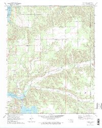
1971 Map of Salina SE
USGS Topo · Published 1973About this map
Spavinaw Hills State Game Refuge dominates the northeastern corner of this landscape, where the Spavinaw Hills meet the edge of Spavinaw Lake. The area reflects early 1970s infrastructure and conservation efforts, centered around the managed waters of the Neosho River and Lake Hudson. Along the banks of the Neosho, the City of Tulsa Water Intake and the Powerplant Penstocks signify the region's importance for regional utilities and power generation.
Find a feature on this map
24 named features on this map. Tap any name to fly to it.
Don’t see what you’re looking for? This feature index may not catch every label — zoom into the map to look around manually.
Map Details
Editions of this 1971 Salina SE Map
2 editions found
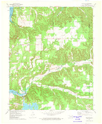
Other maps of this area

1896 · Pryor
USGS Topo · 1:125,000

1899 · Siloam Springs
USGS Topo · 1:125,000

1901 · Pryor
USGS Topo · 1:125,000

1903 · Siloam Springs
USGS Topo · 1:125,000

1904 · Siloam Springs
USGS Topo · 1:125,000

1954 · Tulsa
USGS Topo · 1:250,000

1958 · Tulsa
USGS Topo · 1:250,000

1963 · Tulsa
USGS Topo · 1:250,000

1971 · Kenwood
USGS Topo · 1:24,000
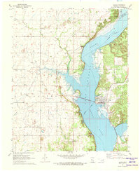
1971 · Salina
USGS Topo · 1:24,000