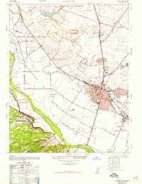
1947 Map of Salinas
USGS Topo · Published 1948About this map
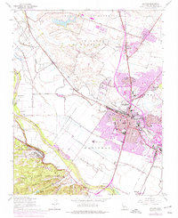
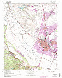
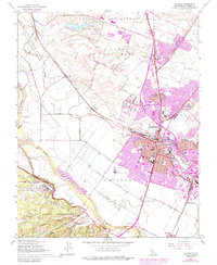
The agricultural heart of Monterey County is captured here just after the war, centered on the expanding city of Salinas. The landscape is defined by traditional Mexican land grants like Rincon Del Zanjon and Nacional, which sit alongside the industrial infrastructure of the Southern Pacific railroad and the Spreckels Junction. To the northwest, the Fort Ord military reservation and East Garrison show the area's significant military footprint. Local genealogy is well-supported by numerous schools and landmarks, including Graves School, the Santa Rita Church, and the oddly named intersection of Confederate Corners. The presence of the Salinas River and its accompanying sloughs, such as Alisal Slough, illustrates the drainage patterns that enabled the region's productive valley farms, while outlying settlements like Old Hilltown and Santa Rita reveal the distribution of rural life during this era of growth.
Find a feature on this map
73 named features on this map. Tap any name to fly to it.
Don’t see what you’re looking for? This feature index may not catch every label — zoom into the map to look around manually.
Map Details
Editions of this 1947 Salinas Map
7 editions found
Other maps of this area

1910 · Salinas
USGS Topo · 1:31,680

1912 · Salinas
USGS Topo · 1:62,500

1912 · Capitola
USGS Topo · 1:62,500

1913 · Monterey
USGS Topo · 1:62,500

1914 · Capitola
USGS Topo · 1:62,500

1915 · San Juan Bautista
USGS Topo · 1:48,000

1917 · San Juan Bautista
USGS Topo · 1:62,500

1939 · San Juan Bautista
USGS Topo · 1:62,500

1940 · San Juan Bautista
USGS Topo · 1:62,500

1940 · Salinas
USGS Topo · 1:62,500