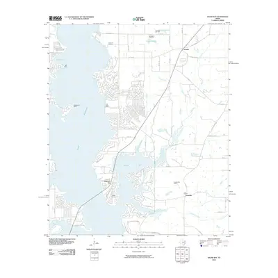
2010 Map of Saline Bay
USGS Topo · Published 2010About this map
Lake Palestine dominates this portion of Smith County, its intricate western shoreline defining the character of the region. The map reveals a landscape shaped by water management and residential development, anchored by the Tyler Intake Tower and the expansive Saline Bay. To the north, the small community of Noonday sits near the headwaters of Saline Creek, while the settlements of Dogwood City and Teaselville occupy the rising ground further south. Local genealogy is well-supported by the presence of Hawthorne Cemetery near the lake's edge and Loftin Cemetery to the east. The terrain is crisscrossed by established routes like Old Palestine Rd and Old Noonday Rd, connecting these lakeside communities. Small-scale engineering is visible at Tom Clay Lake Dam and Brookshire Lake Dam, illustrating how the tributaries of Copperas Creek and Rose Branch have been utilized for local water storage.
Find a feature on this map
50 named features on this map. Tap any name to fly to it.
Don’t see what you’re looking for? This feature index may not catch every label — zoom into the map to look around manually.
Map Details
Editions of this 2010 Saline Bay Map
This is the sole edition of this map. No revisions or reprints were ever made.
Other maps of this area

1946 · Bullard
USGS Topo · 1:62,500

1948 · Bullard
USGS Topo · 1:62,500

1948 · Tyler
USGS Topo · 1:62,500

1948 · Brownsboro
USGS Topo · 1:62,500

1949 · Tyler
USGS Topo · 1:62,500

1949 · Brownsboro
USGS Topo · 1:62,500

1949 · Frankston
USGS Topo · 1:62,500

1950 · Frankston
USGS Topo · 1:62,500

1956 · Tyler
USGS Topo · 1:250,000

1966 · Chandler
USGS Topo · 1:24,000