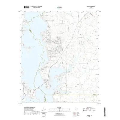
2019 Map of Saline Bay
USGS Topo · Published 2019About this map
Lake Palestine dominates this modern landscape, where its irregular western shoreline forms complex inlets and coves like Caney Bay and Flat Bay. The sprawling reservoir has reshaped the geography of Smith, Henderson, and Cherokee counties, leaving prominent landforms such as Smith Point and Henderson Point as key landmarks for local navigation and recreation. To the east, the terrain rises into the uplands where smaller water bodies like Tom Clay Lake and Brookshire Lake drain toward the basin. Settlement patterns here reflect a mix of established rural communities and lakeside residential growth. Historic sites such as Hawthorne Cem near the northern boundary and Loftin Cem near Teaselville offer important reference points for genealogists. The road network, including W Loop 49 near Noonday, connects these quiet residential pockets to the broader East Texas region.
Find a feature on this map
189 named features on this map. Tap any name to fly to it.
Don’t see what you’re looking for? This feature index may not catch every label — zoom into the map to look around manually.
Map Details
Editions of this 2019 Saline Bay Map
This is the sole edition of this map. No revisions or reprints were ever made.
Other maps of this area

1946 · Bullard
USGS Topo · 1:62,500

1948 · Bullard
USGS Topo · 1:62,500

1948 · Tyler
USGS Topo · 1:62,500

1948 · Brownsboro
USGS Topo · 1:62,500

1949 · Tyler
USGS Topo · 1:62,500

1949 · Brownsboro
USGS Topo · 1:62,500

1949 · Frankston
USGS Topo · 1:62,500

1950 · Frankston
USGS Topo · 1:62,500

1956 · Tyler
USGS Topo · 1:250,000

1966 · Chandler
USGS Topo · 1:24,000