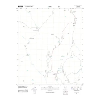
2011 Map of Saliz Pass
USGS Topo · Published 2011About this map
Pueblo Creek and its many tributaries, including West Fork Pueblo Creek and Bear Canyon, dominate the high-elevation drainage of this section of Catron County. The landscape is defined by its working ranch history and high-country transit, centered on the crossing at Saliz Pass. Traces of ranching operations and seasonal camps are visible through features like Martinez Ranch, Serna Ranch, and the Kelly Camp. The naming conventions of the terrain, such as Gut Ache Mesa and Dangerous Park Canyon, suggest the difficult nature of the topography for early travelers and stockmen. Strategic water management is evident in the numerous namesake tanks scattered across the peaks and valleys, including Old Highway Tank and Little Joe Trick Tank, which supported livestock in the arid reaches between the major waterways of the creek and the San Francisco River.
Find a feature on this map
51 named features on this map. Tap any name to fly to it.
Don’t see what you’re looking for? This feature index may not catch every label — zoom into the map to look around manually.
Map Details
Editions of this 2011 Saliz Pass Map
This is the sole edition of this map. No revisions or reprints were ever made.
Other maps of this area

1910 · Mogollon
USGS Topo · 1:125,000

1912 · Mogollon
USGS Topo · 1:125,000

1913 · Morenci
USGS Topo · 1:125,000

1915 · Morenci
USGS Topo · 1:125,000

1915 · Reserve
USGS Topo · 1:125,000

1918 · Reserve
USGS Topo · 1:125,000

1922 · Nutrioso
USGS Topo · 1:125,000

1954 · Clifton
USGS Topo · 1:250,000

1957 · Clifton
USGS Topo · 1:250,000

1958 · Clifton
USGS Topo · 1:250,000