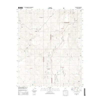
2013 Map of Saliz Pass
USGS Topo · Published 2013About this map
Saliz Pass serves as a central gateway through the high country of the Gila National Forest and Apache National Forest, where US Hwy 180 winds across the divide between the Pueblo Cr and San Francisco River drainages. The landscape is defined by its complex network of named canyons, including Martinez Canyon, Gordon Canyon, and Bang Tail Canyon. Cattle-ranching heritage is evident through numerous water improvements like Six Bar Tank, Kelly Tanks, and the curiously named Lower Gut Ache Tank situated below Gut Ache Mesa. To the west, Chimney Rock stands as a prominent landmark near Dangerous Park Canyon. This 2013 survey provides a detailed look at the infrastructure of the forest, including Pueblo Park Rd and Kelly Balke Rd, which provide access to high points like Indian Peak and the Saliz Mountains.
Find a feature on this map
51 named features on this map. Tap any name to fly to it.
Don’t see what you’re looking for? This feature index may not catch every label — zoom into the map to look around manually.
Map Details
Editions of this 2013 Saliz Pass Map
This is the sole edition of this map. No revisions or reprints were ever made.
Other maps of this area

1910 · Mogollon
USGS Topo · 1:125,000

1912 · Mogollon
USGS Topo · 1:125,000

1913 · Morenci
USGS Topo · 1:125,000

1915 · Morenci
USGS Topo · 1:125,000

1915 · Reserve
USGS Topo · 1:125,000

1918 · Reserve
USGS Topo · 1:125,000

1922 · Nutrioso
USGS Topo · 1:125,000

1954 · Clifton
USGS Topo · 1:250,000

1957 · Clifton
USGS Topo · 1:250,000

1958 · Clifton
USGS Topo · 1:250,000