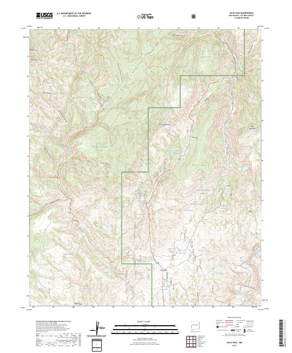
2023 Map of Saliz Pass
USGS Topo · Published 2023About this map
The Apache National Forest and Gila National Forest meet in this high-elevation corridor of western Catron County, defined by the transition between the Blue Range Wilderness and the deep drainage of the San Francisco River. This landscape is marked by its complex network of seasonal water sources and canyons, where landmarks like Saliz Pass and Soliz Hill provide navigation points through the timbered terrain.
Find a feature on this map
52 named features on this map. Tap any name to fly to it.
Don’t see what you’re looking for? This feature index may not catch every label — zoom into the map to look around manually.
Map Details
Editions of this 2023 Saliz Pass Map
This is the sole edition of this map. No revisions or reprints were ever made.
Other maps of this area

1910 · Mogollon
USGS Topo · 1:125,000

1912 · Mogollon
USGS Topo · 1:125,000

1913 · Morenci
USGS Topo · 1:125,000

1915 · Morenci
USGS Topo · 1:125,000

1915 · Reserve
USGS Topo · 1:125,000

1918 · Reserve
USGS Topo · 1:125,000

1922 · Nutrioso
USGS Topo · 1:125,000

1954 · Clifton
USGS Topo · 1:250,000

1957 · Clifton
USGS Topo · 1:250,000

1958 · Clifton
USGS Topo · 1:250,000