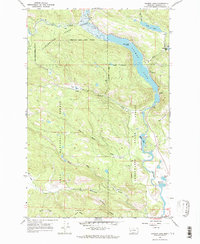
1965 Map of Salmon Lake
USGS Topo · Published 1986About this map
The Clearwater River corridor in Missoula County is dominated by the long stretch of Salmon Lake, a central feature within the Clearwater State Forest. This mid-1960s survey captures a landscape of timber management and growing recreational use, evidenced by the Campground near the lake's eastern shore and St Joseph Ch situated further south. The topography is defined by the sharp transition from the river valley to prominent heights like Boyd Mountain and the southern Game Ridge.
Find a feature on this map
31 named features on this map. Tap any name to fly to it.
Don’t see what you’re looking for? This feature index may not catch every label — zoom into the map to look around manually.
Map Details
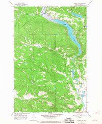
Editions of this 1965 Salmon Lake Map
2 editions found
Other maps of this area

1902 · Ovando
USGS Topo · 1:125,000

1903 · Bonner
USGS Topo · 1:125,000

1905 · Ovando
USGS Topo · 1:125,000

1919 · Drummond
USGS Topo · 1:125,000

1921 · Drummond
USGS Topo · 1:125,000

1921 · Elbow Lake
USGS Topo · 1:125,000

1947 · Butte
USGS Topo · 1:250,000

1955 · Choteau
USGS Topo · 1:250,000

1957 · Choteau
USGS Topo · 1:250,000

1958 · Butte
USGS Topo · 1:250,000