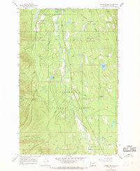
1965 Map of Salmon Prairie
USGS Topo · Published 1968About this map
The Swan River valley serves as a central corridor through this heavily forested portion of western Montana, where the Swan River State Forest and Flathead National Forest converge. During the mid-1960s, this area remained largely defined by its natural topography and resource management infrastructure, centered around the Salmon Prairie settlement and the nearby State Forest Hdqrs. The map reveals a landscape managed for timber and recreation, evidenced by the Swan Lake Campground and several Gravel Pits tucked near the riverbanks.
Find a feature on this map
32 named features on this map. Tap any name to fly to it.
Don’t see what you’re looking for? This feature index may not catch every label — zoom into the map to look around manually.
Map Details
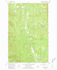
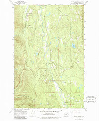
Editions of this 1965 Salmon Prairie Map
3 editions found
Other maps of this area

1955 · Choteau
USGS Topo · 1:250,000

1957 · Choteau
USGS Topo · 1:250,000

1958 · Choteau
USGS Topo · 1:250,000

1962 · Choteau
USGS Topo · 1:250,000

1965 · Peck Lake
USGS Topo · 1:24,000

1965 · Condon
USGS Topo · 1:24,000
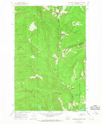
1965 · Thunderbolt Mountain
USGS Topo · 1:24,000

1965 · Swan Peak
USGS Topo · 1:24,000
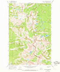
1965 · Piper-Crow Pass
USGS Topo · 1:24,000
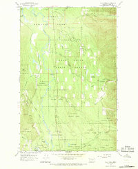
1965 · Cilly Creek
USGS Topo · 1:24,000